What is recorded here
Mound in Laghtavarry is a 13.8-metre earth and stone rise in County Mayo pasture that local families have long called the fort field. Hazel, hawthorn and blackthorn still choke its edge, hiding whatever shape or purpose it once held. A second mound waits seventy-five metres south, suggesting the land remembered more than one event.
Located in undulating pasture. This mound consists of a roughly circular raised area (diam. 13.8m N–S; H c. 1m) composed of earth and stone. A moss-covered pile of loose stones, most likely field clearance stone of relatively recent date, is located at the W of the mound. The mound appears to be man-made, however, its exact nature is uncertain. It is engulfed in hazel, sycamore, hawthorn and blackthorn trees and is difficult to examine closely. The current landowner’s father always called the field in which the mound is located ‘the fort field’. There is another mound (MA070-153----) c. 75m to S.
Compiled by Jane O’Shaughnessy
Date of upload: 30 August 2012
The monument record does not grant public access. Check the route and ask the landowner before entering private land.
- What survives
- Recorded monument
Places near here
 IndicatedEnclosure · 476 yd
 bridgebridge · 526 yd
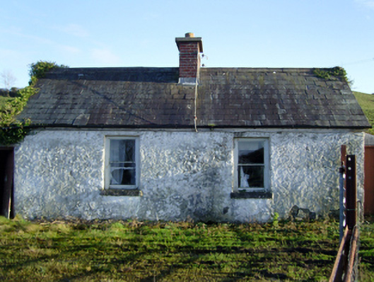 worker's houseworker's house · 995 yd
 Enclosure in BallygommonEnclosure · 1501 yd
 Corraun CastleCastle · 1596 yd
 Castle (in Ruins)Castle, motte · 1688 yd
 Oak WoodWood · 1.0 mi
 National Museum of Ireland, Country LifeMuseum · 1.3 mi
 Sunken GardenWood · 1.4 mi
 Battle of CastlebarMajor battlefield · 5.4 mi
 Saint John Baptist de La SalleMemorial · 5.5 mi
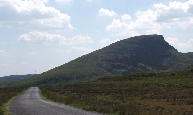 BurrenMountain / peak · 7.2 mi