What is recorded here
In pasture, on the NW outskirts of Swinford town, located at the break of slope on the SW side of a knoll.
This is depicted on the 1838 OS 6-inch map as a trapezoidal shaded feature (c. 20m E−W at N, c. 30m E−W, at N; c. 15-20m N−S); it is not shown on the 1919 edition. It was included in the SMR (1991) and RMP (1997) on the basis of an aerial photograph (OS 2 4438 -9; Roll 216, pr. 13; SMR file) in which it is visible as an irregular raised feature.
The remains consist of grass-covered, irregular-shaped mound (max. dim. 9-10m; H c. 1.6m), heavily quarried and disturbed. Its original form and whether it is of archaeological significance are uncertain.
It is partly obscured by hawthorn bushes.
Compiled by: Jane O’Shaughnessy
Date of upload: 25 November 2020
The monument record does not grant public access. Check the route and ask the landowner before entering private land.
- What survives
- Recorded monument
Places near here
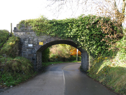 bridgebridge · 179 yd
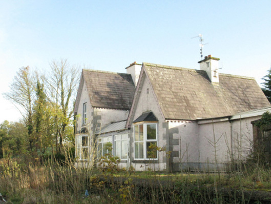 Swinford Railway Stationstation master's house · 285 yd
 Youth Memorial GardenMemorial · 320 yd
 IndicatedFairy fort / earthen ringfort · 430 yd
 Enclosure in LagcurraghEnclosure · 432 yd
 Procession Of The SoulsMemorial · 713 yd
 Brabazon WoodsForest · 1035 yd
 HawthornHawthorn · 2.0 mi
 Castle (in Ruins)Castle, unclassified · 2.3 mi
 Hennigan's Heritage CentreHeritage attraction · 2.3 mi
 Thorn CaveCave · 3.6 mi
 Bawn in ToomoreBawn · 5.0 mi