
What is recorded here
Indicated is a fairy fort on a western rise above Swinford, its oval grassy interior still flat and unmarked after centuries of rain and foot traffic. The land itself built most of the boundary, steepening at the west and north while leaving a narrow gap toward the ridge spine where someone may have entered. It stands seventy metres from another rath, as if the hill were sharing a secret between two small chambers. Pasture and field fences have since pressed against it, but the shape remains clear enough to stop a traveller looking for a way through.
In pasture, on the western outskirts of Swinford town, located on a rise, at the break of slope on the NW side. There are good views W–N over undulating grassland, with a tract of forested land c. 200m to W. Another rath (MA062-045) is located 70m to NNE.
Substantially raised oval area (33.2m NE–SW; 20.2m NW–SE) defined by a scarp (Wth slope 4m; ext. H 2m at SE). At SW–NW the scarp (Wth slope c. 10m; H c. 4m at W) is enhanced by the natural fall of ground. At the base of the scarp at NW–E there is a narrow, shallow depression (Wth 1.3m; D0.15-0.3m). This may mark an original fosse but in its current form it resembles a field ditch, associated with the incorporation of the rath into later field fences, which abut the rath at W and NE.
A low area (Wth c. 2m) in the enclosing scarp at E opens onto the spine of the ridge, and may be the site of an original entrance. Another break or slumped area (Wth c. 3-3.4m) in the scarp at SSW is flanked by two low banks or scarps which extend 4-5m beyond the rath. The rath interior is flat, grassy and featureless.
Compiled by: Jane O’Shaughnessy
Date of upload: 25 November 2020
The monument record does not grant public access. Check the route and ask the landowner before entering private land.
- What survives
- Recorded monument
Places near here
 Youth Memorial GardenMemorial · 204 yd
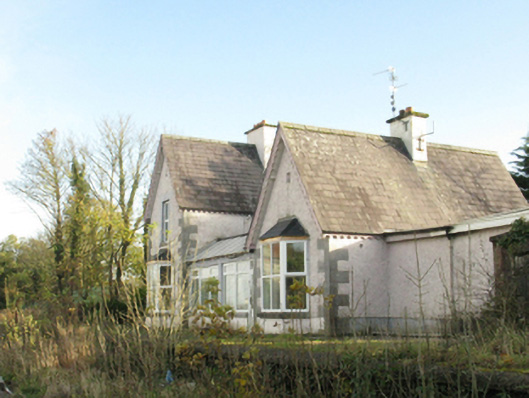 Swinford Railway Stationstation master's house · 241 yd
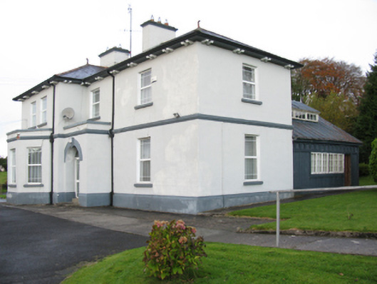 Catholic Church of Our Lady Help of Christianspresbytery/parochial/curate's house · 332 yd
 Enclosure in NewparkEnclosure · 707 yd
 Enclosure in LagcurraghEnclosure · 824 yd
 Procession Of The SoulsMemorial · 900 yd
 Brabazon WoodsForest · 947 yd
 HawthornHawthorn · 2.2 mi
 Castle (in Ruins)Castle, unclassified · 2.4 mi
 Hennigan's Heritage CentreHeritage attraction · 2.5 mi
 Thorn CaveCave · 3.3 mi
 Bawn in ToomoreBawn · 4.9 mi
Other information
Photo: Credit not shown in the picture search · Rights wording not checked; contact us if this picture should be removed