What is recorded here
Clearing a levelled ringfort in County Mayo in December 1990 broke the silence above a narrow stone chamber. The passage stretched 13.4 metres northwest to southeast, barely wide or tall enough for a person to walk through, and large boulders crowded its north wall. It may have been a hiding place, a storage hole or a forgotten way beneath the fort. The chamber has been refilled, but the earth still keeps the shape of that hidden tube.
Situated in levelled ringfort (MA120-054001-). A stone-built chamber was re-opened by chance during clearing in December 1990. Accessed through the collapsed roof; the site (L 13.4m; Wth 1.7m; H 1.6m) was orientated NW-SE. Constructed of random uncoursed dry-stone, with large boulders also present in the N wall. Site has been refilled and is now inaccessible.
The above description has been derived from D. Lavelle (compiler), An Archaeological Survey of Ballinrobe and District including Lough Mask and Lough Carra. Lough Mask and Lough Carra Tourist Development Association (1994), No. 526.
Date of upload: 12 December 2014
The monument record does not grant public access. Check the route and ask the landowner before entering private land.
- What survives
- Recorded monument
Places near here
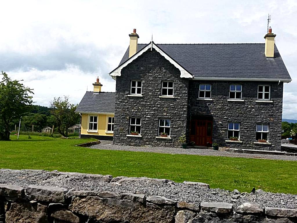 IndicatedFairy fort / earthen ringfort · 1 yd
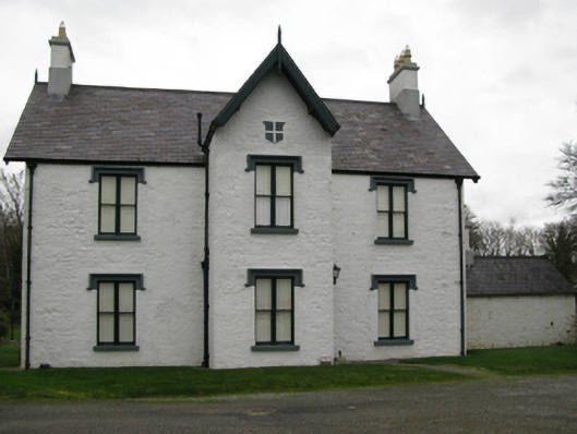 Lackafinna Househunting/fishing lodge · 382 yd
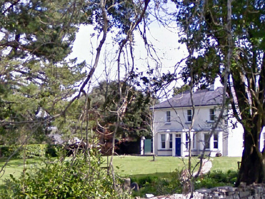 Glenninahouse · 549 yd
 Enclosure in LackafinnaEnclosure · 627 yd
 Easter IslandIslet · 1269 yd
 Kelly's CaveCave · 1367 yd
 Bartragh IslandIslet · 1.0 mi
 Cong AbbeyHeritage attraction · 1.0 mi
 European YewEuropean Yew · 1.1 mi
 Quiet Man MuseumMuseum · 1.1 mi
 TonacashlanCastle, unclassified · 1.1 mi
 Caherduff CastleCastle · 1.1 mi