What is recorded here
Calliaghdoo is a vanished cairn in undulating Mayo pasture, recorded by O'Donovan in 1838 and still named on the 1929 map though no stone or mound remains. Its name likely carries cailleach, the old woman, hinting that the heap once marked a place of memory or ceremony before farmland swallowed it. What is left is a cartographic ghost: a destination you can reach but never see, inviting wonder about whose hands raised it and whose plough erased it.
In undulating pasture. O'Donovan (1838, 762) makes reference to a cairn, marked on OS map (1929) as 'Calliaghdoo'. No visible surface trace.
The above description has been derived from D. Lavelle (compiler), An Archaeological Survey of Ballinrobe and District including Lough Mask and Lough Carra. Lough Mask and Lough Carra Tourist Development Association (1994), No. 35.
Date of upload: 12 December 2014
The monument record does not grant public access. Check the route and ask the landowner before entering private land.
- What survives
- Recorded monument
Places near here
 Stone CircleStone circle · 480 yd
 Enclosure in LackafinnaEnclosure · 481 yd
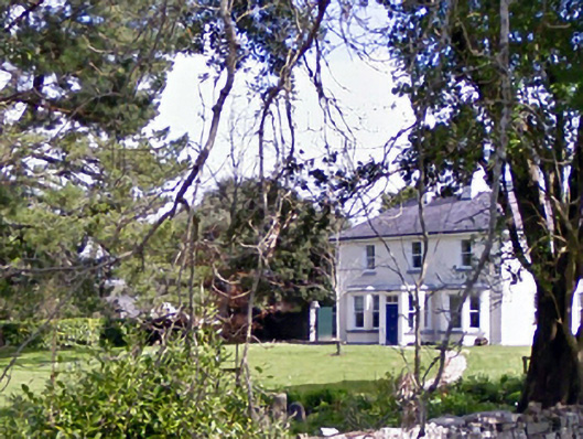 Glenninahouse · 735 yd
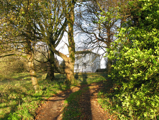 rectory/glebe/vicarage/curate's houserectory/glebe/vicarage/curate's house · 781 yd
 Kelly's CaveCave · 1297 yd
 Caherduff CastleCastle · 1540 yd
 Easter IslandIslet · 1.0 mi
 Cong AbbeyHeritage attraction · 1.1 mi
 Quiet Man MuseumMuseum · 1.1 mi
 European YewEuropean Yew · 1.1 mi
 TonacashlanCastle, unclassified · 1.1 mi
 Silver FirSilver Fir · 1.3 mi