What is recorded here
Indicated is a circular rath thirty-four metres across on a steep Galway slope, its inner bank and outer ridge still visible beneath trees. The fort leans into the hill rather than resisting it, as if built to catch rain and shadow instead of light. People may have lived there, feared there, or simply avoided the ditch and double berm because the land already felt occupied.
On a steep N-facing slope. Circular rath (diam. 34.4m), in fair condition, defined by an inner bank with traces of an intervening fosse and outer bank from S to W. Two berms are visible downslope of the inner bank, the upper one from N to E and the lower one in the N sector. The monument is covered with trees. (McCaffrey 1952, 259, no. 29)
Compiled by: Galway Archaeological Survey, UCG
Date of upload: 11 January 2018
The monument record does not grant public access. Check the route and ask the landowner before entering private land.
- What survives
- Recorded monument
Places near here
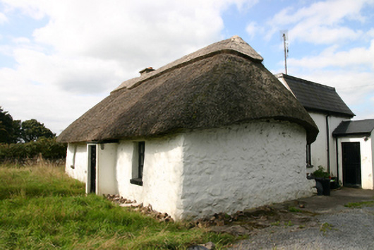 Kirra Cottagehouse · 668 yd
 Ashfield Ho.Country house · 911 yd
 Bawn in Deerpark (kilchreest Ed)Bawn · 948 yd
 Site of R.C. ChapelChapel · 1003 yd
 Enclosure in Ballygarraun (loughrea By.)Enclosure · 1112 yd
 CastleCastle, tower house · 1.4 mi
 Ash IslandIslet · 3.6 mi
 Blake's IslandIslet · 3.7 mi
 Scalpeen RockNamed rock · 3.8 mi
 Long PointHeadland · 4.4 mi
 KnockapollboyMountain / peak · 4.5 mi
 KnocknarebanaMountain / peak · 6.9 mi