
What is recorded here
Knocktopherabbey holds a circular enclosure forty metres wide, buried beneath Kilkenny tillage but still drawing life from the rain because its hidden fosse redirects water and shadows the grass. It sits sixty-five metres from a second enclosure and two hundred fifteen metres from a ringfort, forming a quiet triangle where human hands shaped the land before memory faded. The green margin visible from above is not decoration; it is the ghost of a ditch, still working, still marking the difference between ordinary field and inhabited ground.
In tillage. A circular enclosure (diam. c. 40m), defined by a fosse which is visible as a cropmark on satellite imagery (Apple Maps; also visible on OS ortho imagery, 2004-2006), identified and reported by Jean-Charles Caillère. There is a suggestion of an outer fosse in the NE quadrant. There is another enclosure (KK031-110----) c. 65m to the SW and a ringfort (KK031-022----) c. 215m to the SW.
See attached imagery:
KK031-109----_01 Apple Maps satellite imagery
KK031-109----_02 OS ortho imagery, 2004-2006
Compiled by: Jean Farrelly
Date of upload: 28 June 2023
The monument record does not grant public access. Check the route and ask the landowner before entering private land.
- What survives
- Recorded monument
Places near here
 Enclosure in KnocktopherabbeyEnclosure · 116 yd
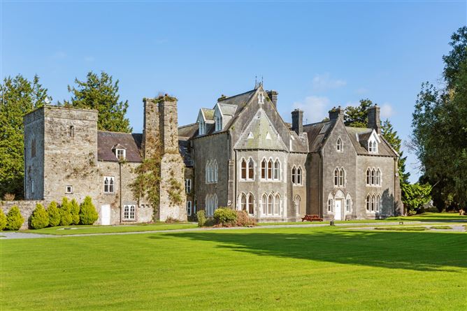 Knocktopher Ringfort (rath)Archaeological place · 272 yd
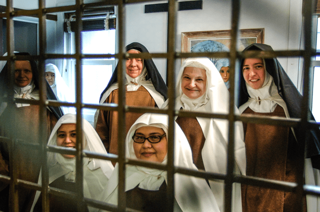 Religious houseReligious house, Carmelite friars · 768 yd
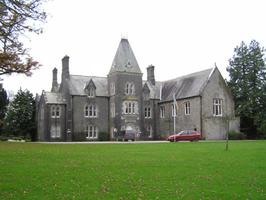 Knocktopher Abbeycountry house · 777 yd
 CastleCastle, motte · 879 yd
 Church (in Ruins), GraveyardChurch · 1227 yd
 Graveyard in DerrynahinchGraveyard · 1.3 mi
 Sheepstown Castle (site of)Archaeological place · 1.4 mi
 Turkey OakTurkey Oak · 2.1 mi
 Castlemorris Pheasant LoopWalking route · 2.6 mi
 Castlemorris WoodForest · 2.7 mi
 Holy WellSpring · 3.5 mi
Other information
Photo: Credit not shown in the picture search · Rights wording not checked; contact us if this picture should be removed