
What is recorded here
In tillage. An oval enclosure (dims. c. 38m NE-SW; c. 33m NW-SE), defined by a fosse which is visible as a cropmark on satellite imagery (OS ortho imagery, 2004-2006). There is another enclosure (KK031-109----) c. 65m to the NE and a ringfort (KK031-022----) c. 110m to the SW.
See attached imagery:
KK031-110----_01 OS ortho imagery, 2004-2006
Compiled by: Jean Farrelly
Date of upload: 28 June 2023
The monument record does not grant public access. Check the route and ask the landowner before entering private land.
- What survives
- Recorded monument
Places near here
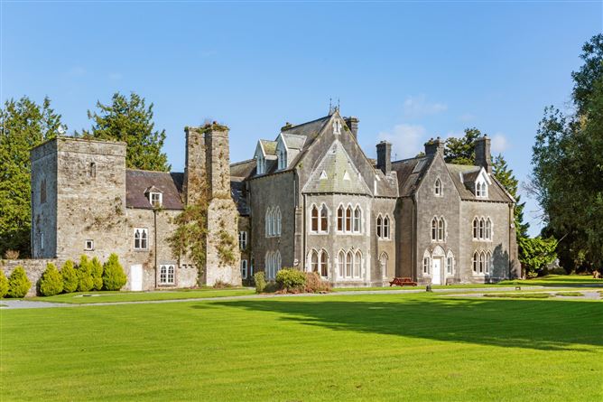 Knocktopher Ringfort (rath)Archaeological place · 160 yd
 Ballyboodan Ogham StoneArchaeological place · 790 yd
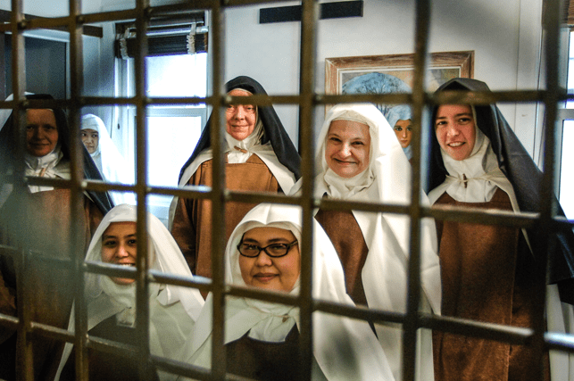 Religious houseReligious house, Carmelite friars · 867 yd
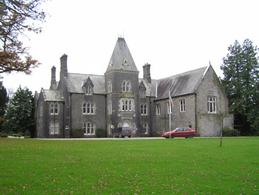 Knocktopher Abbeycountry house · 876 yd
 CastleCastle, motte · 987 yd
 Church (in Ruins), GraveyardChurch · 1127 yd
 Graveyard in DerrynahinchGraveyard · 1.3 mi
 Sheepstown Castle (site of)Archaeological place · 1.4 mi
 Turkey OakTurkey Oak · 2.1 mi
 Castlemorris Pheasant LoopWalking route · 2.6 mi
 Castlemorris WoodForest · 2.6 mi
 Holy WellSpring · 3.5 mi
Other information
Photo: Credit not shown in the picture search · Rights wording not checked; contact us if this picture should be removed