
What is recorded here
On a hilltop overlooking Lough Ree, c. 850m to the E. Circular overgrown area (diam. 35.7m ENE-WSW) defined by a grass and scrub-covered scarp (H 0.9m at E to 1.6m at W) which is surrounded by a drystone field wall. There is no visible fosse or identifiable original entrance. At the centre is a modern circular drystone-built structure (int. diam. c. 3m) with a sunken path approaching it from the E.
Compiled by: Michael Moore
Date of upload: 24 August 2010
A local fairy fort (ringfort/rath); wider significance not recorded.
The monument record does not grant public access. Check the route and ask the landowner before entering private land.
- What survives
- Recorded monument
Places near here
 Church (in Ruins)Religious house, Fratres Cruciferi · 1375 yd
 Carrownure BayBay · 1401 yd
 Kilcommon ChurchChurch · 1507 yd
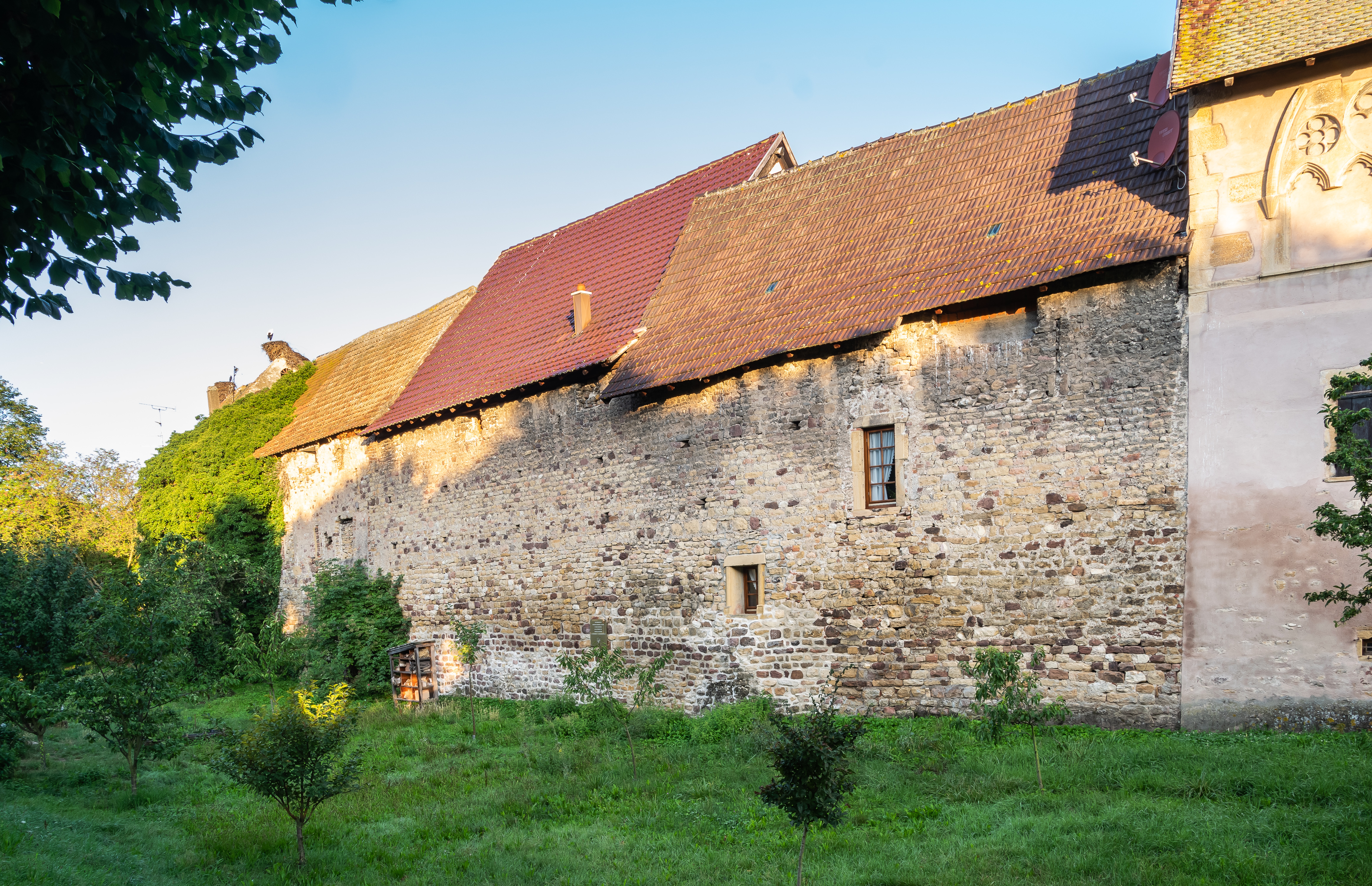 Fortified WallTown defences · 1541 yd
 Fairy fort / stone ringfort in Carrownamaddy (athlone South By.),knockanyconorFairy fort / stone ringfort · 1597 yd
 Rindown CastleCastle, Anglo-Norman masonry castle · 1.1 mi
 Safe HarbourBay · 1.1 mi
 RindoonWood · 1.2 mi
 St. John's WoodWood · 1.5 mi
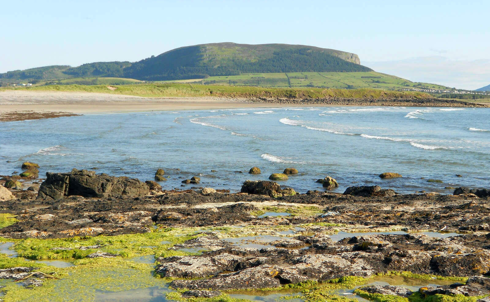 Brearoge IslandsIslet · 2.0 mi
 Black IslandsIslet · 2.0 mi
 Galey CastleCastle, tower house · 3.5 mi
Other information
Photo: Credit not shown in the picture search · Rights wording not checked; contact us if this picture should be removed