What is recorded here
Found during road widening along the N verge of the road in October 1953. A skeleton, orientated E-W, lay some 0.6m below the ground surface in hard, yellow clay subsoil. No trace of a grave-cut or grave goods were noted. A similar burial (KD022-027----) had been discovered several months previously, nearby to the E (OPW Topographical files, 1953).
Compiled by; Gearóid Conroy
Date of upload: 15 December 2011
A single burial dating to the Early Christian period; its orientation and lack of grave goods suggest a simple, possibly low-status interment. The find provides insight into local burial practices in an otherwise archaeologically under-recorded area.
The monument record does not grant public access. Check the route and ask the landowner before entering private land.
- What survives
- Recorded monument
Places near here
 bridgebridge · 672 yd
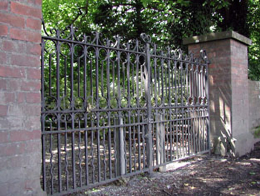 Abbey Villagates/railings/walls · 705 yd
 Round TowerRound tower · 1007 yd
 CrossCross, High cross · 1015 yd
 Castle in ruinsCastle, Anglo-Norman masonry castle · 1206 yd
 CastleCastle, motte · 1225 yd
 Sitka SpruceSitka Spruce · 1.2 mi
 Horse MuseumMuseum · 1.2 mi
 Saint Fiachra's GardenHeritage attraction · 1.2 mi
 Bee-bee treeBee-bee tree · 1.3 mi
 Bithia Mary CrokerMemorial · 5.4 mi
 White Abbey Catholic Churchchurch/chapel · 737 yd