What is recorded here
Digital Globe aerial photograph taken July 2013 shows cropmark of circular enclosure (approx. diam. 37m N-S) with second cropmark of similar sized enclosure (KD022-120----) 53m to SE. Cropmark of enclosure not visible on other aerial photographs taken by OSI.
Compiled by: Caimin O'Brien based on details provided by Dr. Charles Mount.
Date of upload: 16 November 2016
The monument record does not grant public access. Check the route and ask the landowner before entering private land.
- What survives
- Recorded monument
Places near here
 bridgebridge · 1417 yd
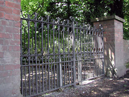 Abbey Villagates/railings/walls · 1519 yd
 Round TowerRound tower · 1.0 mi
 CrossCross, High cross · 1.0 mi
 Castle in ruinsCastle, Anglo-Norman masonry castle · 1.1 mi
 CastleCastle, motte · 1.2 mi
 Sitka SpruceSitka Spruce · 1.5 mi
 Horse MuseumMuseum · 1.6 mi
 Bee-bee treeBee-bee tree · 1.6 mi
 Saint Fiachra's GardenHeritage attraction · 1.6 mi
 Bithia Mary CrokerMemorial · 5.2 mi
 Kilcumney Househouse · 1530 yd