What is recorded here
Knockognoe holds a seven-metre circle of black earth and shattered red stone, marking a place where heat and water collided before the trough disappeared. The flat mound survives beside a field fence while the digging tool is gone, forcing imagination to complete what measurement stopped.
Fulacht fia described in 1985 by the 'Castleisland District Archaeological Survey' as a 'low roughly circular-shaped shaped mound (diam. 7.4m; H 0.15m) of black earth and burnt shattered red stone. There is no evidence of the trough area. Bordered by a drain and field fence on the east' (SMR File).
Compiled by: Caimin O'Brien
Date of upload: 27 April 2022
The monument record does not grant public access. Check the route and ask the landowner before entering private land.
- What survives
- Recorded monument
Places near here
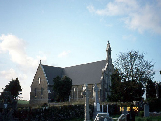 Saint Carthage's Catholic Churchchurch/chapel · 865 yd
 Dotted outline, GlebeEcclesiastical enclosure · 877 yd
 (Site of) ChurchChurch · 925 yd
 Mountcollins Bridgebridge · 1.8 mi
 Three CountiesPicnic place · 2.7 mi
 KnockateeMountain / peak · 4.9 mi
 Mount EagleMountain / peak · 5.4 mi
 Purt CastleCastle · 6.4 mi
 Crag CaveCave · 8.2 mi
 Castle (in ruins)Castle, Anglo-Norman masonry castle · 9.7 mi
 John B. KeaneMemorial · 12 mi
 Holocaust MemorialMemorial · 12 mi