What is recorded here
Indicated is an invisible oval enclosure, fifteen metres long and ten wide, buried inside a rath that vanished during mid-1970s reclamation. It exists now only in a 1894 map line and a forgotten coordinate, yet it may have held a hearth, a loom, or a child’s bedroom. The land swallowed the wall, but the shape remains waiting for someone to imagine it breathing again.
In a possible rath (KE056-039----). Depicted on the 1894 OS 6-inch map, as an oval enclosure (c. 15m E-W; c. 10m N-S) in the interior of the rath just off-centre to S. The rath was levelled during land reclamation in the mid-1970s and both the rath and enclosure are not visible at ground level (SMR file).
The above description is derived from the published 'Archaeological Inventory of County Kerry. Volume I: South-West Kerry' (Dublin: Stationery Office, 2009). In certain instances the entries have been revised and updated in the light of recent research.
Date of upload: 30 May 2011
The monument record does not grant public access. Check the route and ask the landowner before entering private land.
- What survives
- Recorded monument
Places near here
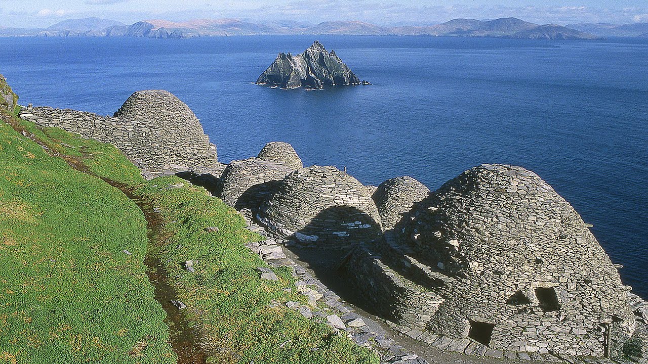 Hut site in ArdacluckeenHut site · 1729 yd
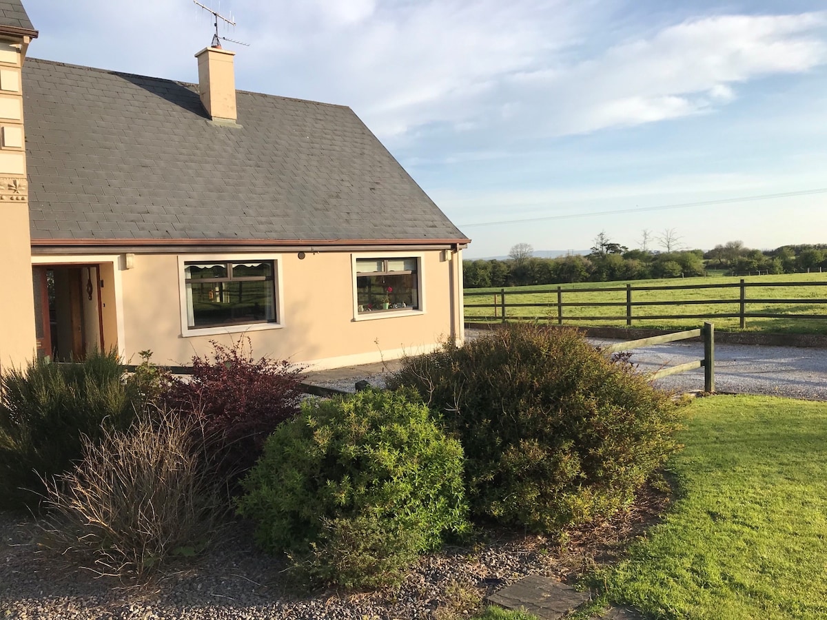 Enclosure in ArdacluckeenEnclosure · 1.0 mi
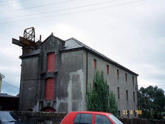 store/warehousestore/warehouse · 1.2 mi
 Saint Michael's Church (Killorglin)church/chapel · 1.2 mi
 King Puck statueMemorial · 1.2 mi
 CastleCastle, tower house · 1.2 mi
 Cloon IslandIsland · 2.0 mi
 Clash IslandIslet · 2.4 mi
 Ballymalis Castle (in ruins)Castle, tower house · 3.7 mi
 KnockbrackMountain / peak · 4.1 mi
 Kerry Bog VillageHeritage attraction · 4.5 mi
 Lough Yganavan Nature ReserveNature reserve · 4.8 mi