What is recorded here
Knockmoylan holds two conjoined ditches that mapped a medieval field before modern roads covered the memory. They align still with surrounding boundaries, suggesting people shaped that land deliberately during the thirteenth or fourteenth century. The ditches did not appear randomly; they repeated a lived pattern of ownership, movement and care.
Excavated in 2010 in advance of the N9/N10 Kilcullen to Waterford Road Improvement Scheme (Licence no. E2512). Two conjoined linear boundary ditches representing a medieval field system. An L-shaped drain, a shallow pit and a post-hole were also excavated. Three pottery sherds were found representing two vessels broadly dating to the 13th-14th century AD. The alignment of the linear features reflect the pattern of the surrounding field boundaries. (Channing 2009, 279, no. 1073; Channing 2010)
Compiled by: Mary Tunney
Date of upload: 22 October 2013
The monument record does not grant public access. Check the route and ask the landowner before entering private land.
- What survives
- Recorded monument
Places near here
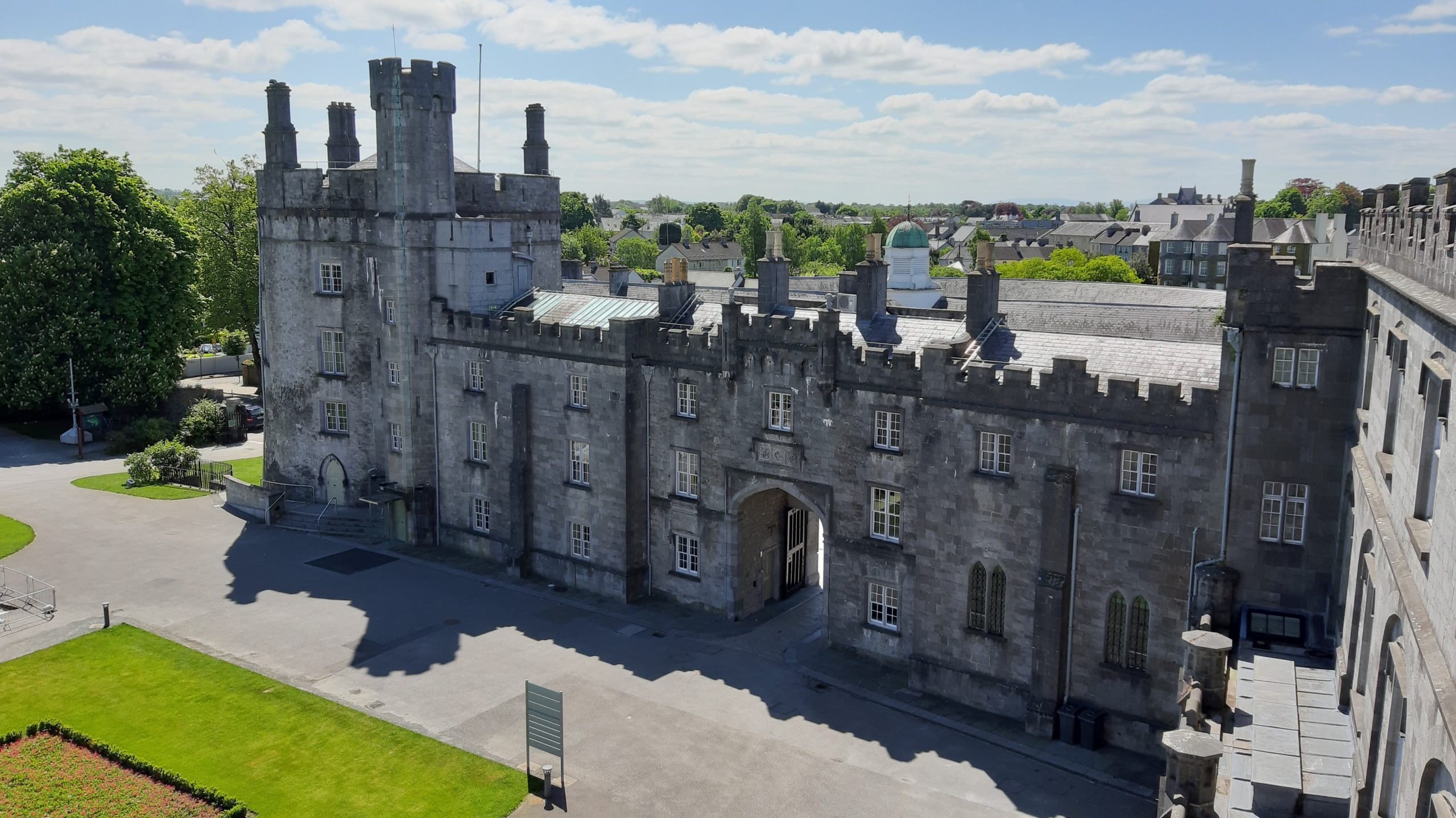 Knocklmoylan CastleCastle · 199 yd
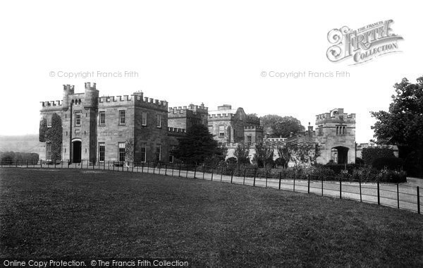 Killeen Ringfort (rath)Archaeological place · 1094 yd
 Crowbally Ringfort (rath)Archaeological place · 1199 yd
 bridgebridge · 1302 yd
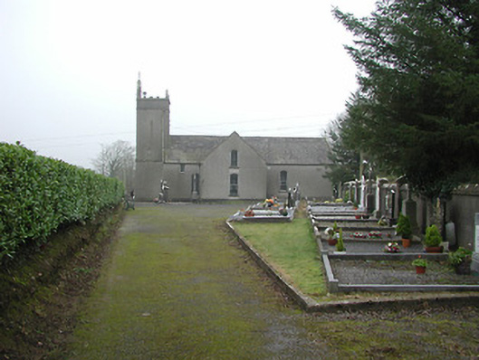 All Saints' Catholic Churchchurch/chapel · 1355 yd
 Crowbally Castle (Site of)Castle, unclassified · 1451 yd
 Thomas PhelanMemorial · 2.7 mi
 Graveyard in KilkeasyGraveyard · 2.7 mi
 Poulanassy WaterfallWaterfall · 2.9 mi
 Corbally WoodForest · 3.7 mi
 Clonassy WoodForest · 3.8 mi
 Tory HillMountain / peak · 4.9 mi