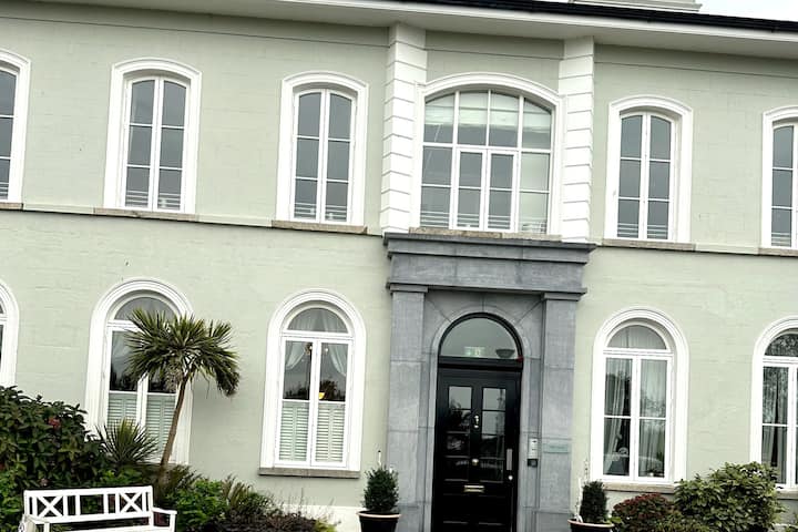
What is recorded here
Knockmitten holds a ghost circle thirty-eight metres wide beneath a modern housing estate. A 1971 aerial photograph caught shadow lines in the soil before buildings sealed them, suggesting a levelled ringfort on the Camock River slope. Residents now walk above forgotten walls, unaware that domestic life covers ancient defence. The enclosure escaped destruction only because it stopped being visible.
Situated on a NE facing slope close to the Camock River. An aerial photograph taken in 1971 (FSI 227/8) shows cropmark evidence for a subcircular enclosure (diam. c. 38m). Possibly a levelled ringfort. There is a housing estate on the site. Not visible at ground level.
Compiled by: Geraldine Stout
Date of upload: 26 August 2011
The monument record does not grant public access. Check the route and ask the landowner before entering private land.
- What survives
- Recorded monument
Places near here
 IndicatedKiln, lime · 262 yd
 Clondalkin Librarylibrary/archive · 704 yd
 CastleCastle, unclassified · 806 yd
 Partially indicatedEcclesiastical enclosure · 1132 yd
 Clondalkin Round TowerHeritage attraction · 1167 yd
 Round TowerRound tower · 1167 yd
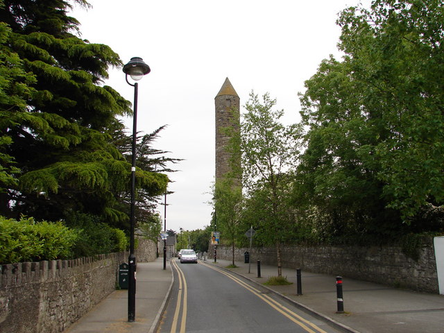 The Round TowerVisitor information · 1175 yd
 Norman MotteCastle · 1445 yd
 Veronica Guerin memorialMemorial · 1.1 mi
 Belgard RoadMemorial · 1.4 mi
 Fairy WoodWood · 1.8 mi
 Mayor's Mile (Finsish)Visitor information · 2.2 mi
Other information
Photo: Credit not shown in the picture search · Rights wording not checked; contact us if this picture should be removed