What is recorded here
The graveyard in Knockmaon is in County Waterford, Ireland. It stood on a small east-west ridge of rock outcrop about eighty metres east of the north-south Brickey River, at the south foot of the hillock holding Knockmaon castle. The 1840 edition of the Ordnance Survey six-inch map marked it beside the church, but the graveyard has disappeared without trace. Knockmaon tower house stands about one hundred metres to the north.
Situated on a small E-W ridge of rock outcrop c. 80m E of the N-S Brickey River, and at the S foot of the hillock on which Knockmaon castle stands. A small graveyard that is marked on the 1840 ed. of the OS 6-inch map attached to the church (WA030-042001-) has disappeared without trace (Power 1898a, 90-1). Knockmaon tower house (WA030-041001-) is c. 100m to N. (O'Connell Redmond 1918-19, 102)
Power, Rev. P. (1898a) Ancient ruined churches of Co. Waterford, WAJ 4, 83-95, 195-219.
Date of upload/revision: 11th August, 2011. Compiled by: Michael Moore.
The monument record does not grant public access. Check the route and ask the landowner before entering private land.
- What survives
- Recorded monument
Places near here
 IndicatedBawn · 119 yd
 farmyard complexfarmyard complex · 125 yd
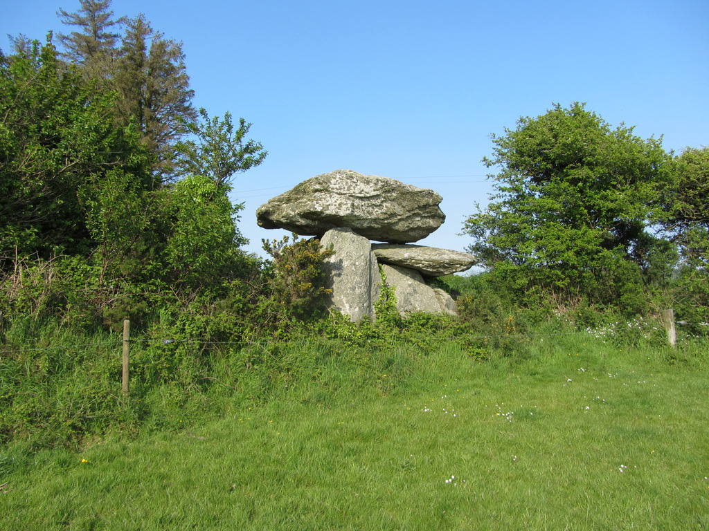 Embanked enclosureFairy fort / ringfort · 1209 yd
 Mount Odell Housefarm house · 1405 yd
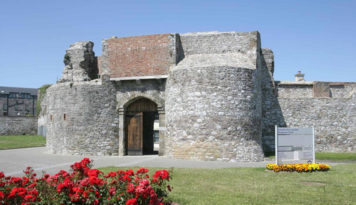 Site of Mullowneys VillageSettlement deserted, medieval · 1654 yd
 Kilgreany CaveCave · 1.1 mi
 site of CastleCastle, unclassified · 2.4 mi
 CarronadavdergMountain / peak · 3.9 mi
 Saint Declan's Holy WellSpring · 4.0 mi
 Grattan SquareVisitor information · 4.4 mi
 Waterford County MuseumMuseum · 4.5 mi
 Dungarvan World War I MemorialMemorial · 4.6 mi