
What is recorded here
Knockmaon bawn is a grass-covered rectangular enclosure west of the tower house, set on a rock outcrop hillock above the Cappagh valley in County Waterford. Its low earthen bank still marks the boundary of a domestic yard where people likely kept animals, stored tools or gathered before entering the tower. A hundred metres south, the church remains close enough to suggest that daily life and worship shared the same small ridge.
Situated on top of a rock outcrop hillock (H c. 20m) which rises out of the low-lying undulating landscape at the S edge of the Cappagh valley. A grass-covered rectangular enclosure (dims. 23.5m E-W; 20m N-S) defined by a low earthen bank (Wth 3m; H 0.3-0.9m) is W of the tower house of Knockmaon (WA030-041001-) and may represent its bawn. Church (WA030-042001-) is c. 100m to S.
Date of upload/revision: 11th August, 2011. Compiled by: Michael Moore.
The monument record does not grant public access. Check the route and ask the landowner before entering private land.
- What survives
- Recorded monument
Places near here
 farmyard complexfarmyard complex · 190 yd
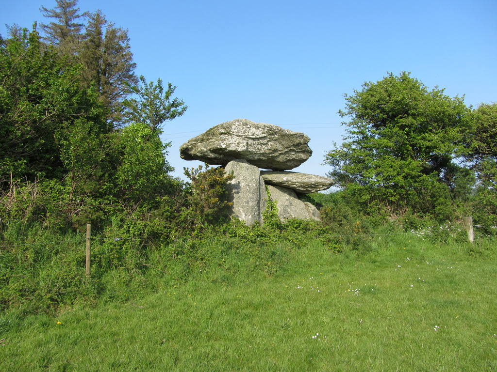 Embanked enclosureFairy fort / ringfort · 1111 yd
 Mount Odell Housefarm house · 1484 yd
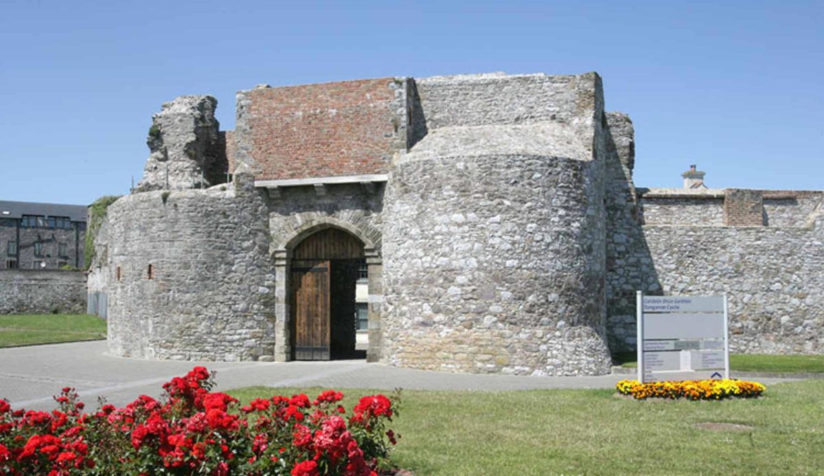 Site of Mullowneys VillageSettlement deserted, medieval · 1697 yd
 Kilgreany CaveCave · 1.0 mi
 site of CastleCastle, unclassified · 2.4 mi
 Castle (in ruins)Castle, unclassified · 3.4 mi
 CarronadavdergMountain / peak · 4.0 mi
 Saint Declan's Holy WellSpring · 4.1 mi
 Grattan SquareVisitor information · 4.4 mi
 Waterford County MuseumMuseum · 4.5 mi
 Dungarvan World War I MemorialMemorial · 4.6 mi
Other information
Photo: Credit not shown in the picture search · Rights wording not checked; contact us if this picture should be removed