What is recorded here
In improved pasture, on a NNW-facing slope, near top of Bennett's Hill with excellent views from WNW-E-ESE. The remains of an oval area (dims. 45m N-S; 36m E-W) are defined by a levelled bank reduced to scarp (Wth 5.5m; H 0.25m) in the S quadrant. The monument is truncated by a field boundary running roughly E-W across the SSW sector. The levelled remains of the S sector (dims. 24m E-W; 15m N-S) are defined by a fosse (Wth 2m; D 0.15m) in the adjacent field to the S. There is a distinct depression at the SE edge, where a spring is depicted on the 2nd 1903-04 ed. OS 6-inch map. There are undulations in the field to the S of the enclosure but these do not form any decernible pattern. The enclosure had been levelled when visited by Cahill (1982).
Compiled by: Jean Farrelly
Date of upload: 26 August 2011
The monument record does not grant public access. Check the route and ask the landowner before entering private land.
- What survives
- Recorded monument
Places near here
 Knockkelly CastleCastle · 1169 yd
 Enclosure in KnockkellyEnclosure · 1385 yd
 Enclosure in RathkennyEnclosure · 1423 yd
 Brook Hillhouse · 1.0 mi
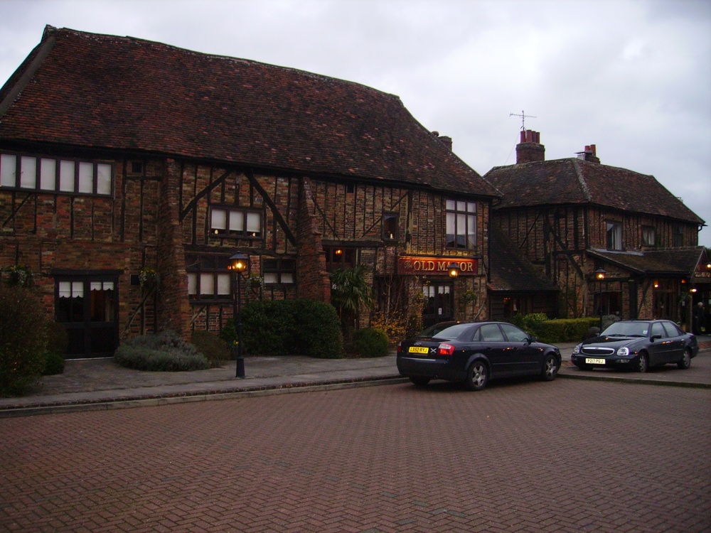 Old Manor Ho. (in ruins)House, 17th century · 1.1 mi
 Ballinard CastleCastle, tower house · 1.2 mi
 Kilknockan HillMountain / peak · 1.6 mi
 East GateMemorial · 2.3 mi
 European YewEuropean Yew · 2.4 mi
 Grove WoodForest · 3.0 mi
 CarrigdotiaMountain / peak · 3.9 mi
 Gobban Saer's GraveArchaeological place · 8.4 mi