
What is recorded here
Enclosure in Knockkelly is an enclosure in Knockkelly, County Tipperary, Ireland. It occupies a steep southwest-facing slope in improved pasture, about 200 metres east of a bivallate ringfort. The site preserves a roughly circular gentle depression, 44 metres northeast-southwest and 42 metres northwest-southeast, marked by traces of a bank levelled off downslope. A former field boundary running east-northeast-west-southwest cut through the southeast sector, and the 1905 map still showed the enclosure as a 60-metre circle before later levelling removed much of its shape.
In improved pasture, on a steep SW-facing slope. A bivallate ringfort (TS062-097----) lies c. 200m to W. The remains of a roughly circular, gentle depression (dims. 44m NE-SW; 42m NW-SE) defined by traces of a bank which has been levelled off downslope. There are traces of a former field boundary which ran ENE-WSW and truncated the SE sector of the monument. It is depicted on the 2nd (1905) ed. OS 6-inch map as a circular enclosure (overall diam. 60m). The enclosure had been levelled when visited by Cahill (1982) in 1975.
Compiled by: Jean Farrelly
Date of upload: 26 August 2011
The monument record does not grant public access. Check the route and ask the landowner before entering private land.
- What survives
- Recorded monument
Places near here
 Enclosure in KnockkellyEnclosure · 341 yd
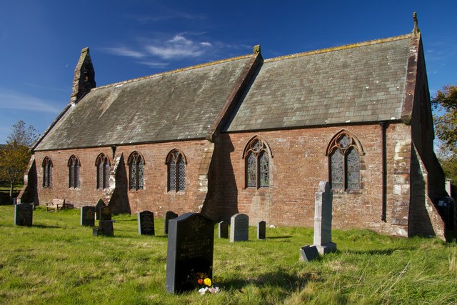 Site of St. James ChurchChurch · 389 yd
 Peppardstown Househouse · 447 yd
 Knockkelly CastleCastle · 1.0 mi
 Saint Johnstown CastleCastle · 1.3 mi
 St. Johnstown ChurchChurch · 1.3 mi
 Kilknockan HillMountain / peak · 2.3 mi
 Eagle HillMountain / peak · 2.8 mi
 East GateMemorial · 3.3 mi
 European YewEuropean Yew · 3.4 mi
 Grove WoodForest · 4.2 mi
 Gobban Saer's GraveArchaeological place · 7.3 mi
Other information
Photo: Credit not shown in the picture search · Rights wording not checked; contact us if this picture should be removed