What is recorded here
Settlement deserted is a settlement deserted (medieval) in Knockgraffon, County Tipperary, Ireland. Knockgraffon was a medieval settlement where the Civil Survey recorded decayed castles, a habitable stone house, cottages, an orchard and a garden. The manor developed from an 1192 motte built for Philip of Worchester, passed through royal grants to de Braose and back to the Worcester line, and produced burgage rents recorded in 1274. A 1995 excavation north of the church found pits, a ditch, firespots, possible wicker buildings and cultivation features, but no surface trace of the settlement survives.
In the Civil Survey (1654-6) Knockgraffon is described as having 'two decayed castles (the Walls standing, & a stone house habitable many small Cottages an Oarchard & garden...' (Simington 1931, vol.1, 230). No trace of the settlement survives, however it is likely to have been located between or in the vicinity of the motte and bailey (TS075-019001-) and the 13th-century church (TS075-019003-). The motte at Knockgraffon was erected in 1192, the manor having been granted to Philip of Worchester (Orpen 1909, 276). In 1202 King John ordered Worchester to deliver the ‘the Castrum de Cnocgrafon’ to William de Braose, however, in 1215 Knockgraffon was returned to Worchester (ibid.). In 1225 this grant was confirmed to William of Worcester, Philip’s nephew (ibid.). In the Calendar of Ormond Deeds the rental of burgages in 1274 is given as ‘nineteen marks, one pound of pepper, two pounds of cumin’(Curtis 1932, vol. 1, 78). The manor of Knockgraffon was, after the death of John de Bermingham, Earl of Louth, in 1329, committed to the custody of James, Earl of Ormond, in right of his liberty by writ of June 11, 1333 (Curtis 1935-7, 54). A small scale excavation in 1995 c. 100m N of the church revealed a number of pits, a ditch, two firespots and traces of one or two wicker buildings suggestive of settlement, potentially medieval (Pollock 1996, 82). There were also a number of parallel linear features filled with an old soil indicative of medieval/early post-medieval cultivation (ibid.).
Compiled by: Jean Farrelly
Date of upload: 1 April 2014
The monument record does not grant public access. Check the route and ask the landowner before entering private land.
- What survives
- Recorded monument
Places near here
 Knockgraffon Church (in ruins)Church · 112 yd
 Knockgraffon MoatCastle, motte and bailey · 125 yd
 Knockgraffon MotteArchaeological place · 136 yd
 Knockgraffon CastleCastle · 572 yd
 Enclosure in KnockgraffonEnclosure · 744 yd
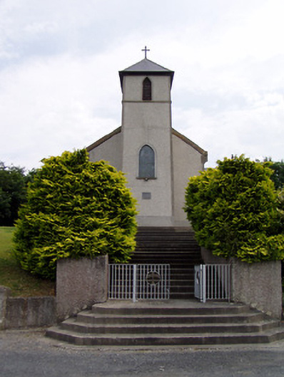 Saint Bartholomew's Catholic Churchchurch/chapel · 1387 yd
 Caher AbbeyHeritage attraction · 2.3 mi
 Caucasian zelkovaCaucasian zelkova · 2.4 mi
 Siege of Cahir Castlesiege · 2.5 miCahir CastleHeritage attraction · 2.7 mi
 Slieveanard NE TopMountain / peak · 3.0 mi
 Cappa WoodWood · 3.0 mi