What is recorded here
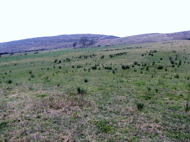
Knockbarragh holds a rath, an ancient earthwork whose boundary still marks the field though human hands built it before written memory. The chamber may have housed a family, a herdsman or a fleeing person during a sudden storm. Its soil absorbed every footstep and every argument until the grass returned. What remains is a room without walls, waiting for someone to remember the shape of the life it held.
The official Northern Ireland record identifies this as RATH. Recorded period: E.CHRIST.. The official map point was placed at the centre of the recorded archaeological site from the source map reference.
The monument record does not grant public access. Check the route and ask the landowner before entering private land.
- What survives
- Recorded monument
Places near here
 ENCLOSURE in BallymoneyENCLOSURE · 1200 yd
 Ballymoney WoodForest · 1522 yd
 ENCLOSURE in AghavillyENCLOSURE · 1565 yd
 CROSSES (2); MULTIPERIOD CHURCH; GRAVEYARDS; HOLY WELL: KILBRONEY or ST.BRIDGET'S WELL in KilbroneyCROSSES (2); MULTIPERIOD CHURCH; GRAVEYARDS; HOLY WELL: KILBRONEY or ST.BRIDGET'S WELL · 1.4 mi
.jpg?width=1280) Kilbroney HouseHouse · 1.5 mi
Kilbroney HouseHouse · 1.5 mi Presbyterian ChurchChurch · 1.7 mi
 The Fairy GlenWalking route · 1.8 mi
 FORTIFICATION: TREVORS CASTLE (unlocated) in RosstrevorFORTIFICATION: TREVORS CASTLE (unlocated) · 1.8 mi
 Dobbin's PointHeadland · 1.9 mi
 Slieve RoosleyMountain / peak · 2.0 mi
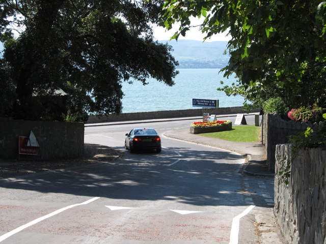 Kilbroney ParkVisitor information · 2.2 mi
 Rostrevor ForestForest · 2.2 mi