What is recorded here
Fairy fort / ringfort in Knockavannia is a fairy fort or ringfort in Knockavannia, County Waterford, Ireland. The 1840 and 1927 Ordnance Survey maps marked a circular embanked enclosure with external diameters of about 50 and 60 metres. It occupied rough pasture towards the top of a northwest-facing slope, but it was removed prior to 1973 and was not visible at ground level in that account.
Marked as a circular embanked enclosure on the 1840 (ext. diam. c. 50m) and 1927 (ext. diam. c. 60m) eds. of the OS 6-inch maps. Situated in rough pasture towards the top of a NW-facing slope. It was removed prior to 1973, and is not visible at ground level. Archaeological testing (04E0234) by c. 60m to the NW in Kilkeany townland failed to produce any related material (Lennon 2007, 426, No. 1680).
Lennon, A-M. (2007) Kilkeany. No archaeological significance. in I. Bennett (Ed.) Excavations 2004: summary accounts of excavations in Ireland, 426. Wordwell. Dublin
The above description is derived from the published 'Archaeological Inventory of County Waterford' (Dublin: Stationery Office, 1999). In certain instances the entries have been revised and updated in the light of recent research.
Date of upload/revision: 6 December 2010
The monument record does not grant public access. Check the route and ask the landowner before entering private land.
- What survives
- Recorded monument
Places near here
 Church in KilkeanyChurch · 550 yd
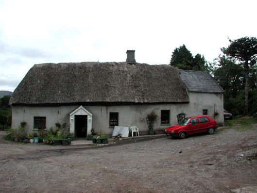 Shanballyanne Cottagehouse · 1224 yd
 KnockeenMountain / peak · 1448 yd
 Fulacht fia in Tooreen EastFulacht fia · 1.1 mi
 IndicatedEnclosure · 1.2 mi
 Milk HillMountain / peak · 1.3 mi
 Turraphuca WoodForest · 1.3 mi
 Knocknaree WoodForest · 1.6 mi
 Site of CastleCastle, unclassified · 1.7 mi
 Siglloges LoopWalking route · 3.4 mi
 Coumlara LoopWalking route · 3.6 mi
 Castle Coonagh (in ruins)Castle, tower house · 4.1 mi