What is recorded here
Knockatarry held a forty-metre earthen ring on a wet Longford slope, but modern ploughing erased the bank and buried the memory. The field boundary cut through the ancient shape, proving that human convenience often consumes the strange. What remains is a faint rise in the pasture, waiting for someone to imagine the life that vanished beneath the soil.
On a WSW-facing slope in low-lying pasture. A report in 1976 (SMR file) recorded a raised oval area (c. 40m NNE-SSW; c. 30m WNW-ESE) enclosed by a low bank of earth and stone with an external fosse. The original entrance was not recognisable. The rath, which was divided into unequal portions by a modern ENE-WSW field boundary, has since been levelled and its location is marked by a low, poorly defined rise.
Compiled by: Patrick F. O'Donovan
Date of upload: 16 January 2012
The monument record does not grant public access. Check the route and ask the landowner before entering private land.
- What survives
- Recorded monument
Places near here
 IndicatedFairy fort / earthen ringfort · 588 yd
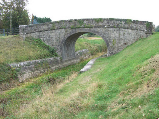 Ards Bridgebridge · 879 yd
 42nd Locklock keeper's house · 937 yd
 Bawn in BallyknockBawn · 1517 yd
 Burial ground in AghnashinganBurial ground · 1561 yd
 CastleCastle, unclassified · 1.8 mi
 Graveyard in Curry (ardagh By., Coolamber Ed)Graveyard · 2.7 mi
 White Sand WoodWood · 6.5 mi
 Wild birdsVisitor information · 6.6 mi
 Commons North WalkVisitor information · 6.6 mi
 Ballyclare IslandIslet · 7.0 mi
 Elfeet BayBay · 7.6 mi