What is recorded here
This potential feature was reported by Michael Connolly, County Archaeologist, Kerry County Council. It was identified by him during the course of an assessment of a 40 square mile area for the purpose of choosing a road route in 2000 to the north of Killarney. Reported to the Archaeological Survey of Ireland as an extant fulacht fia. Full access not gained: Closest access point is 100m to N. No potential feature evident upon historic mapping or modern aerial photography (OSi 2010; Bing 2015). This area has since been planted.
The monument record does not grant public access. Check the route and ask the landowner before entering private land.
- What survives
- Recorded monument
Places near here
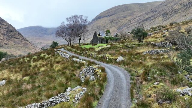 Man-made underground passage in CleedaghMan-made underground passage · 1316 yd
 Field boundary in BuddaghaunsField boundary · 1382 yd
 Church in Glebe (magunihy By., Kilcummin Ed)Church · 1.0 mi
 Dooneen Br.Bridge · 1.1 mi
 Famine MemorialMemorial · 4.1 mi
 Mass RockNamed rock · 4.2 mi
 GinkgoGinkgo · 4.2 mi
 Kerry 2nd Brigade of the Irish Republican ArmyMemorial · 4.3 mi
 Aghadoe Early Medieval Ecclesiastical SiteHeritage attraction · 4.5 mi
 Parkavonear CastleCastle · 4.5 mi
 Jaunting ToursHeritage attraction · 4.6 mi
 Giant SequoiaGiant Sequoia · 4.6 mi