What is recorded here
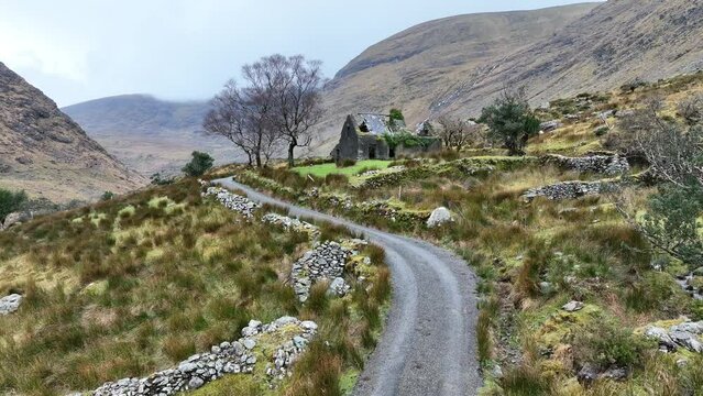
Knockacullig South holds a thirty-metre earthen ring where human hands forced a level tray into a SW-facing slope. The bank still stands one metre high, though gaps now split its east and west arcs, and a lane cuts through its western edge like a knife through old skin. cattle graze inside the breach, unaware they walk the floor of a house built before records. The south arc has become a field boundary, absorbing the fort into ordinary land. What was enclosed is no longer set apart, yet the circle remains visible in the tilt of the ground and the line of the track.
In pasture, on a SW-facing slope. A circular area (c. 30m E-W) enclosed by an earthen bank (Wth 2.35m; int. H 1.05m; ext. H 1m) which is incorporated into the field boundary system along the S arc. The bank is breached at E, SE, SW and WSW. The interior, which is level, appears to be raised on the W side to compensate for the hillslope. An E-W trackway extends from the breach in the bank in the SE arc to the breach at SW. A N-S lane tangentially abuts and cuts into the bank along the W arc, externally. This rath was recorded in the 1840s as being 'in the West end' of Knockacullig South (OSNB, Kilcummin, no. 2, 23).
Compiled by: Elizabeth Byrne, Ursula Egan and Sheila Ronan, Archaeological Survey Unit, University College, Cork.
Date of upload: 31 January 2011
The monument record does not grant public access. Check the route and ask the landowner before entering private land.
- What survives
- Recorded monument
Places near here
 Burnt spread in Knockacullig SouthBurnt spread · 377 yd
 Man-made underground passage in CleedaghMan-made underground passage · 450 yd
 Church in Glebe (magunihy By., Kilcummin Ed)Church · 1028 yd
 KilnKiln, lime · 1429 yd
 Famine MemorialMemorial · 3.5 mi
 GinkgoGinkgo · 3.6 mi
 Kerry 2nd Brigade of the Irish Republican ArmyMemorial · 3.7 mi
 Jaunting ToursHeritage attraction · 3.9 mi
 Giant SequoiaGiant Sequoia · 4.0 mi
 Aghadoe Early Medieval Ecclesiastical SiteHeritage attraction · 4.0 mi
 Parkavonear CastleCastle · 4.0 mi
 Circular WalkWalking route · 4.1 mi