What is recorded here
A roughly circular enclosure visible as a crop mark on an aerial photograph. Another enclosure is also within the same field to the south (DU015-110----) (SMR file; pers. comm. T. Condit). Located at high point in landscape with views north to Feltrim Hill and east to Howth head. Ground relatively flat where site is but slopes steeply northwards. No visible remains.
Compiled by: David O’Connor
Updated by: Christine Baker
Date of upload: 28 January 2015
The monument record does not grant public access. Check the route and ask the landowner before entering private land.
- What survives
- Recorded monument
Places near here
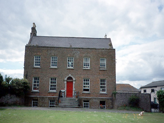 Kinsaley Househouse · 258 yd
 Enclosure in KinsaleyEnclosure · 268 yd
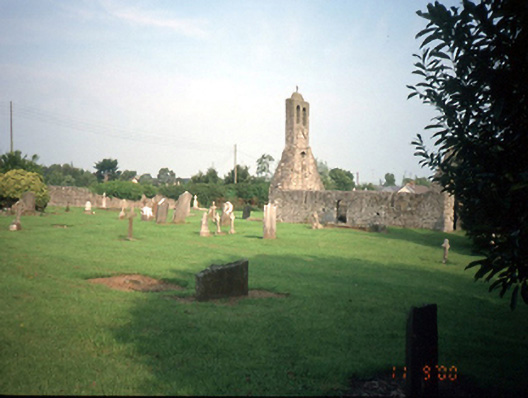 graveyard/cemeterygraveyard/cemetery · 442 yd
 Enclosure in PortmarnockEnclosure · 549 yd
 St Catherine's WellSpring · 1037 yd
 Strand Mill RuinsRuins · 1.1 mi
 CastleCastle, unclassified · 1.2 mi
 Black WoodWood · 1.4 mi
 MoatCastle, motte and bailey · 1.4 mi
 Malahide DemesneVisitor information · 1.6 mi
 Ayrfied UnitedHeritage attraction · 1.8 mi
 Map of Baldoyle Industrial EstateVisitor information · 1.9 mi