What is recorded here
The official Northern Ireland record identifies this as BURNT MOUND / FULACHT FIADH. Recorded period: PREHISTORIC; UNCERTAIN. Recorded protection: Scheduled. The official map point was placed at the centre of the recorded archaeological site from the source map reference.
A prehistoric fulacht fia, likely dating to the Bronze Age, used for cooking or industrial processes; common across Ireland but often found in association with other monument types.
The monument record does not grant public access. Check the route and ask the landowner before entering private land.
- What survives
- Recorded monument
Places near here
 Portora CastleCastle · 990 yd
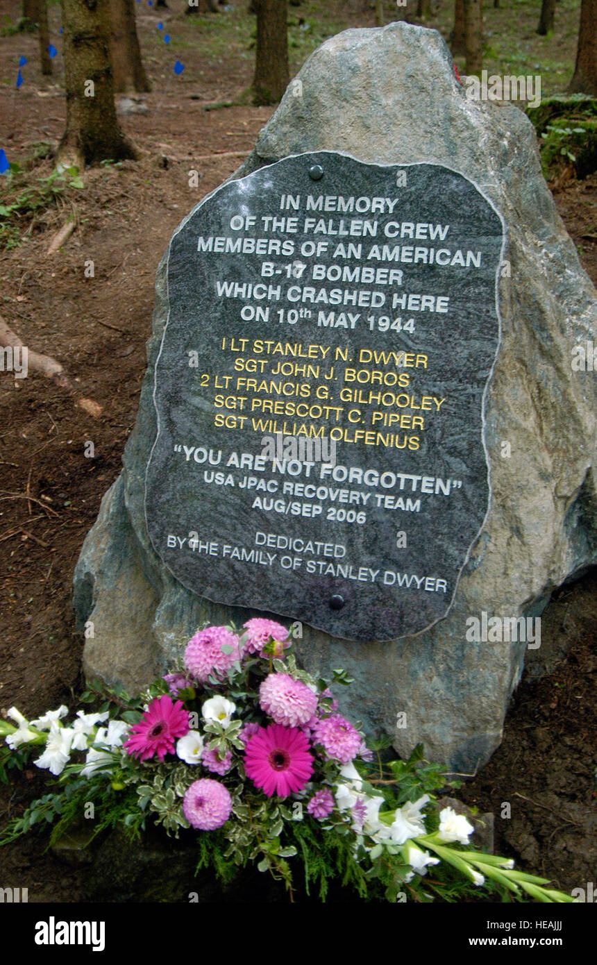 B17 Crash MemorialMonument · 1169 yd
 Rossorry ChurchChurch · 1534 yd
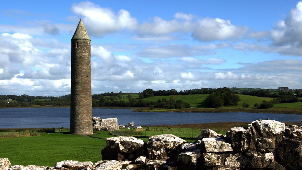 LiDAR Site: Possible enclosure in Devenish (island)LiDAR Site: Possible enclosure · 1690 yd
 Saint Mary's Augustinian PrioryArchaeological place · 1.0 mi
 MONASTERY; AUGUSTINIAN ABBEY; ROUND TOWERS; HOLY WELL: DEVENISH; CULDEE CHURCH & ST MARY'S ABBEY in Devenish (island)MONASTERY; AUGUSTINIAN ABBEY; ROUND TOWERS; HOLY WELL: DEVENISH; CULDEE CHURCH & ST MARY'S ABBEY · 1.1 mi
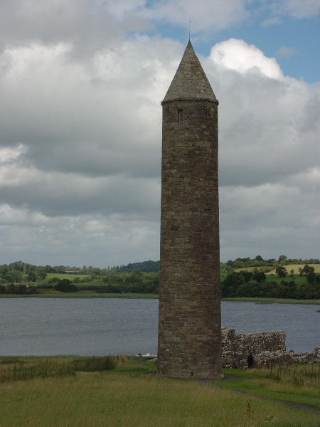 Devenish Island Round TowerViewpoint · 1.1 mi
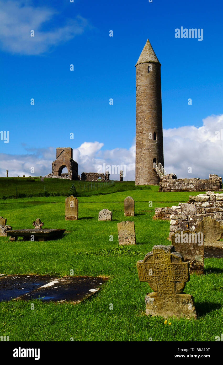 Devenish Monastic Site MuseumMuseum · 1.1 mi
 Devenish IslandIsland · 1.2 mi
 Devenish Local Nature ReserveNature reserve · 1.3 mi
 ENNISKILLEN CASTLE in EnniskillenENNISKILLEN CASTLE · 1.4 mi
 Castle IslandIslet · 1.4 mi