What is recorded here
(5) (KE079-016008-) This poorly constructed building is located between the S angle of house (4) and the enclosing wall of the caher, which forms its S side-wall. Of subrectangular internal plan, it has average dimensions of 7m x 3.4m. A .9m wide entrance at NE leads through a 1.2m wide wall, which narrows to .3m in width at the building's NW corner to allow access between it and house (4) to the S portion of the caher's interior.
The above description is derived from A. O'Sullivan and J. Sheehan (compilers), 'The Iveragh peninsula: an archaeological survey of South Kerry'. Cork University Press (1996), no. 602. In certain instances the entries have been revised and updated in the light of recent research.
Date of upload: 29 July 2013
This monument is subject to a preservation order made under the National Monuments Acts 1930 to 2014 (PO no. 85/1940).
The monument record does not grant public access. Check the route and ask the landowner before entering private land.
- What survives
- Recorded monument
Places near here
 Leacanabuile Ring FortArchaeological place · 27 yd
 Cathar-na-CathFairy fort / stone ringfort · 291 yd
 KilnKiln, corn-drying · 341 yd
 Ballycarbery CastleRuins · 1130 yd
 Ballycarbery Castle (in ruins)Castle, hall-house · 1134 yd
 CastleCastle, unclassified · 1134 yd
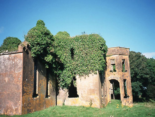 Castlequincountry house · 1.0 mi
 Foughil IslandIslet · 1.0 mi
 White Strand BeachBeach / strand · 1.2 mi
 Killelan MountainMountain / peak · 1.9 mi
 SlievaghMountain / peak · 2.0 mi
 Beginish IslandIsland · 2.2 mi