What is recorded here
Excavations under licence no. 02E0329 took place at Inchanappa Upper from 13 March until 24 April 2002. During this time 32 postholes, stake-holes or post sockets, eight burnt pit features, seven unburned pit features, two field boundary ditches, two ditches of unknown function, one trench feature, one natural depression and one recent cable trench were excavated.
In the West Area there were two post-holes and four to five features that are the probable windbreak elements. In the Central Area there were two burnt pit features with post-holes in association, one isolated burnt pit feature and one area of oxidised earth that is spatially associated with a short trench. The North Area had no post-holes associated with the lone burnt pit feature. Also in this area was an oval pit feature with a small area of burnt shale. The central feature in the East Area of the site consisted of a probable corn-drying kiln that appears to have been attached to, or partially enclosed within, a hut structure (www.excavations.ie).
Date of upload: 30 October 2012
The monument record does not grant public access. Check the route and ask the landowner before entering private land.
- What survives
- Recorded monument
Places near here
 Church in Inchanappa SouthChurch · 94 yd
 Enclosure in BroomfieldEnclosure · 313 yd
 Enclosure in Inchanappa SouthEnclosure · 359 yd
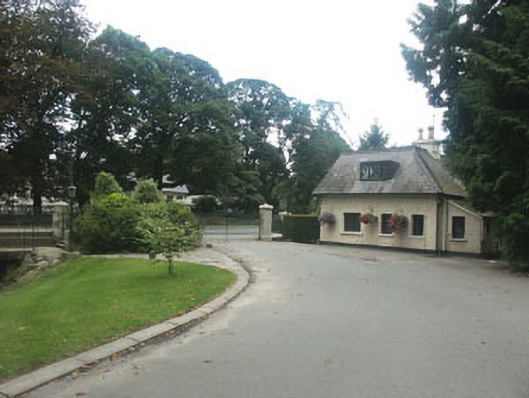 Inchanappa Housegate lodge · 401 yd
 Chestnut-leaved OakChestnut-leaved Oak · 893 yd
 American SweetgumAmerican Sweetgum · 896 yd
 CastleCastle, unclassified · 1.4 mi
 Devil's Glen WaterfallWaterfall · 2.9 mi
 Round MountCastle, motte · 3.1 mi
 Carrick MountainMountain / peak · 3.5 mi
 Glen Beach Cliff WalkWalking route · 4.7 mi
 Leamore StrandBeach / strand · 5.4 mi