What is recorded here
Kilmurray Burial Ground preserves a modern field clearance cairn said locally to overlie graves on a slight ridge above the Culoort River. The name appears on old OS maps, but the ridge itself is the only visible trace, suggesting people buried their dead where the land sloped toward the cliffs. That much is record; the rest is imagination. Perhaps the cairn marks a lost chapel, a family plot or a border between townlands. The river and wind have done their work, leaving a small stone pile and a warning not to build there.
The only indication of the 'Kilmurry' marked on the 1st and 2nd editions of the OS 6-inch maps is a modern field clearance cairn said locally to overlie 'graves'. This is situated on a slight ridge of cultivated land sloping down to the Culoort River close to the cliffs.
(Bonner 1972, 55)
The above description was derived from the 'Archaeological Survey of County Donegal. A description of the field antiquities of the County from the Mesolithic Period to the 17th century.' Compiled by: Brian Lacey with Eamon Cody, Claire Cotter, Judy Cuppage, Noel Dunne, Vincent Hurley, Celie O'Rahilly, Paul Walsh and Seán Ó Nualláin (Lifford: Donegal County Council, 1983). In certain instances the entries have been revised and updated.
Date of upload: 22 September 2008
The monument record does not grant public access. Check the route and ask the landowner before entering private land.
- What survives
- Recorded monument
Places near here
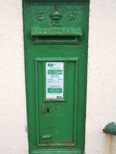 post boxpost box · 1483 yd
 Culoort EnclosureEnclosure · 1.0 mi
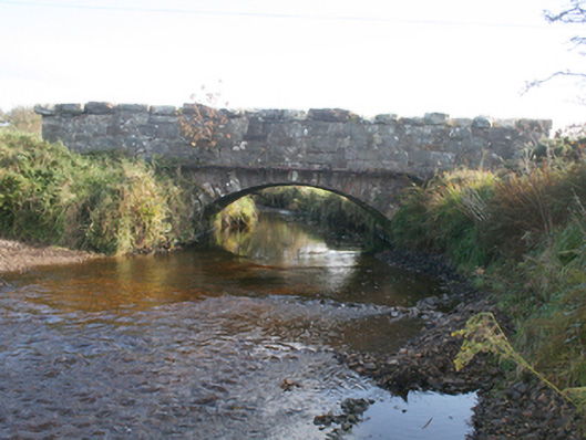 Keenagh Bridgebridge · 1.3 mi
 Promontory fortPromontory fort, coastal · 1.4 mi
 Wee House of Malin CaveCave · 1.6 mi
 Pebble StrandBeach / strand · 2.1 mi
 Lag GraveyardGraveyard · 2.2 mi
 Five Finger StrandBeach / strand · 2.3 mi
 Wild Atlantic Way:Malin HeadVisitor information · 2.3 mi
 EIRE 80 signSecond World War neutrality sign · 2.3 mi
 Hell's Hole Cavern, Malin HeadSea cavern and cliff chasm · 2.6 mi
 Devil's Bridge, Malin HeadNatural rock arch · 2.6 mi