What is recorded here
In pasture, at base of S-facing slope. Spread of burnt material (c. 20mN-W; c. 20m E-W); indicated by low rise. Stream to S. Sited c. 120m E of fulacht fiadh (CO089-01702-); another c. 80m to SSE (CO089-01801-); three others nearby (CO089-01701-; CO089-01601-; CO089-01602-).
The above description is derived from the published 'Archaeological Inventory of County Cork. Volume 2: East and South Cork' (Dublin: Stationery Office, 1994). In certain instances the entries have been revised and updated in the light of recent research.
Date of upload/revision: 14 January 2009
The monument record does not grant public access. Check the route and ask the landowner before entering private land.
- What survives
- Recorded monument
Places near here
 SunvilleCountry house · 1025 yd
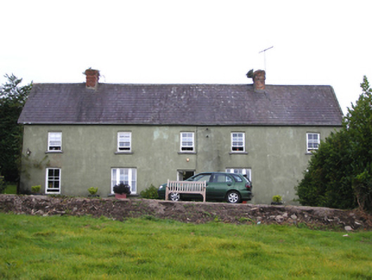 Snugboroughfarm house · 1377 yd
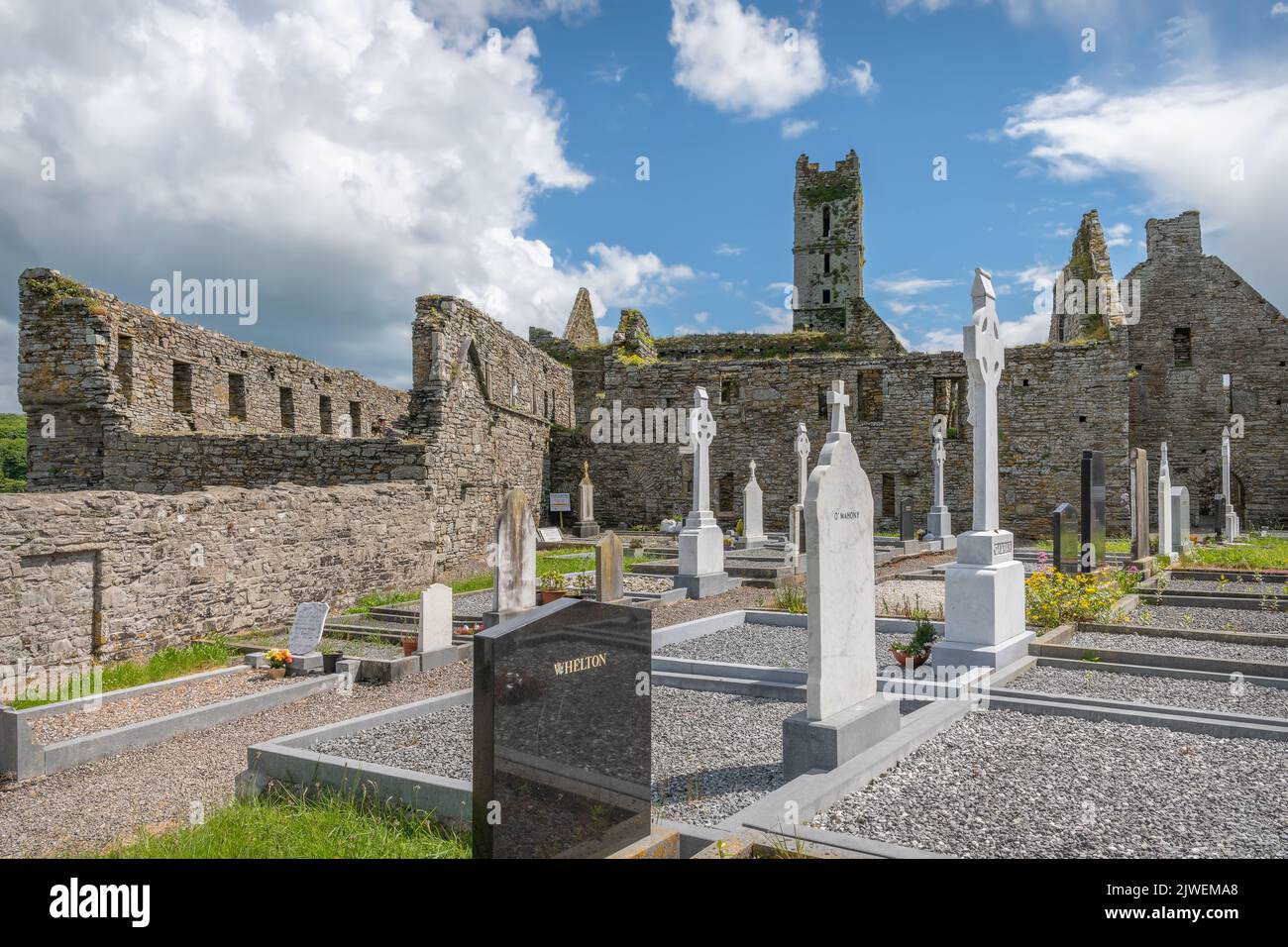 Grave Yard (Site of)Burial ground · 1.4 mi
 Grave YdGraveyard · 1.4 mi
 CastleCastle, tower house · 1.6 mi
 Ballycroneen BeachBeach / strand · 3.0 mi
 PohutukawaPohutukawa · 3.4 mi
 PrincesstreePrincesstree · 3.4 mi
 Ballybrannigan BeachBeach / strand · 3.5 mi
 Anchor The SagaMemorial · 3.8 mi
 Ballintotis CastleCastle · 4.7 mi
 William Heffernan MemorialMemorial · 4.8 mi