What is recorded here
Killybann Graveyard in Barnamaghery, County Down, holds both medieval and modern death, though no visible monument remains to mark the change. The ground may have swallowed children, soldiers, or quiet farmers before it took the last named person. What is certain is that the site continued to receive the dead long after its first purpose faded.
The official Northern Ireland record identifies this as KILLYBANN GRAVEYARD. Recorded period: MODERN; MEDIEVAL. The official map point was placed at the centre of the recorded archaeological site from the source map reference.
The monument record does not grant public access. Check the route and ask the landowner before entering private land.
- What survives
- Recorded monument
Places near here
 ENCLOSURE in AughnadarraghENCLOSURE · 1180 yd
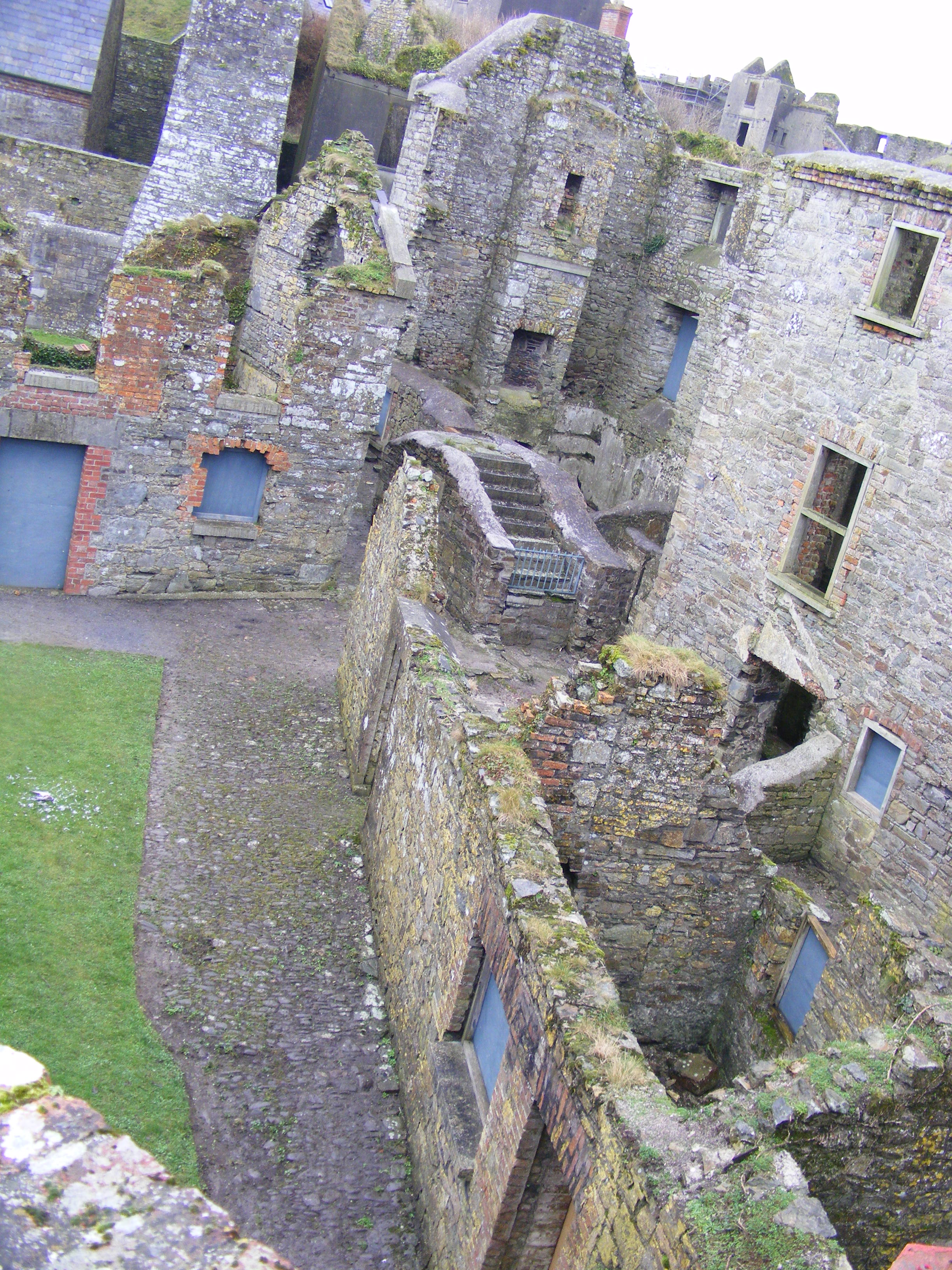 ENCLOSURE: CURLEY'S FORT in BarnamagheryENCLOSURE: CURLEY'S FORT · 1440 yd
 Raffrey Presbyterian ChurchChurch · 1.2 mi
 Glasswater WoodWood · 1.6 mi
 RowallaneOffice · 2.6 mi
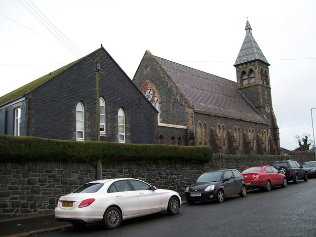 The Square Car ParkVisitor information · 2.7 mi
 Battle of Saintfield (1798)Battlefield · 3.2 mi
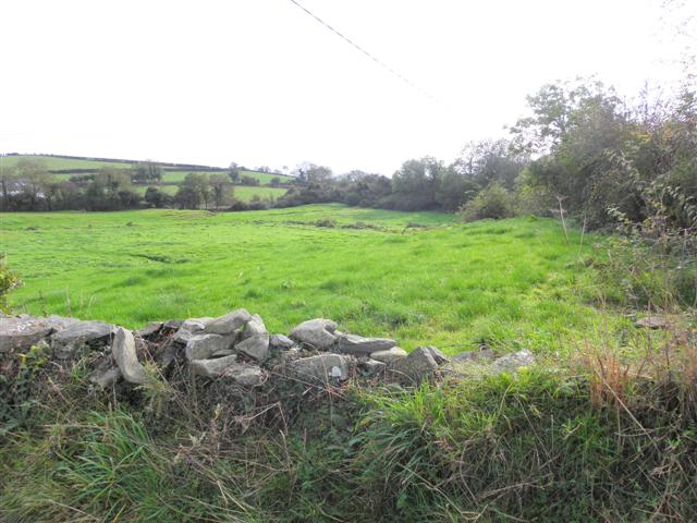 Wallace HillMountain / peak · 4.2 mi
 ShrigleyVisitor information · 4.6 mi
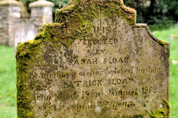 KILLOWEN MEDIEVAL CHURCH (ruined) and GRAVEYARD; with 2 CROSS-CARVED STONES in Corporation (killyleagh)KILLOWEN MEDIEVAL CHURCH (ruined) and GRAVEYARD; with 2 CROSS-CARVED STONES · 5.1 mi
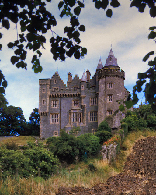 KILLYLEAGH CASTLEKILLYLEAGH CASTLE, multiperiod castle on site of Motte · 5.1 mi
 Windmill Hill WoodWood · 5.3 mi