What is recorded here
Fairy fort / earthen ringfort in Killoy is a fairy fort or earthen ringfort in Killoy, County Roscommon, Ireland. It sits towards the bottom of a south-facing slope and appears only on the 1915 edition of the Ordnance Survey six-inch map. Curved earthen banks form the west and north sides of an enclosure that runs southwest to northeast, but the remaining perimeter cannot be traced.
Marked only on the 1915 ed. of the OS 6-inch map, and situated towards the bottom of a S-facing slope. A slightly curved earthen bank (Wth 6.5m; int. H 2m; ext. H 1.6m) forms the W side (L 23m), and a slightly curved earthen bank (Wth 4.6m; int. H 1.6m; ext. H 1.1m), outer fosse (Wth of top 2.3m; Wth of base 0.5m; ext. D 0.2m) and outer bank (Wth 1.3m; ext. H 0.3m) form the N side (L 17m) of an enclosure SW-W-NE, but the perimeter cannot be traced elsewhere.
Compiled by: Michael Moore
Date of upload: 24 August 2010
The monument record does not grant public access. Check the route and ask the landowner before entering private land.
- What survives
- Recorded monument
Places near here
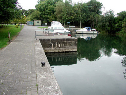 harbour/dock/portharbour/dock/port · 528 yd
 St. Johns WellHoly well · 532 yd
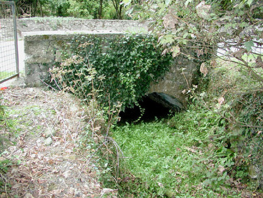 bridgebridge · 696 yd
 IndicatedFairy fort / earthen ringfort · 789 yd
 Blackbrink BayBay · 1.0 mi
 St. John's WoodWood · 1.7 mi
 Black RockNamed rock · 1.7 mi
 Galey CastleCastle, tower house · 2.1 mi
 Dogs IslandIslet · 2.2 mi
 CastleCastle, tower house · 2.4 mi
 RindoonWood · 2.6 mi
 Hangman's HillMountain / peak · 2.8 mi