What is recorded here
Killoe preserves an eight-metre stony mound inside a rath, likely the remains of a collapsed hut with its entrance facing east. The uneven ground and scattered stones suggest a small domestic space rather than a grand ceremonial centre. A person may have stood at that eastern opening, watched the Iveragh sky change, and left behind only a low ridge of stone.
The uneven interior of the rath features scatterings of loose stone. A low stony mound located in the NW quadrant may be the remains of a collapsed hut (KE079-070001-), with a possible entrance at E. It measures 8m in overall diameter.
The above description is derived from A. O'Sullivan and J. Sheehan (compilers), 'The Iveragh peninsula: an archaeological survey of South Kerry'. Cork University Press (1996), no. 525. In certain instances the entries have been revised and updated in the light of recent research.
Date of upload: 29 July 2013
The monument record does not grant public access. Check the route and ask the landowner before entering private land.
- What survives
- Recorded monument
Places near here
 Laharn Bog LoopWalking route · 505 yd
 Mc Crehins Castle (Site of)Castle, unclassified · 600 yd
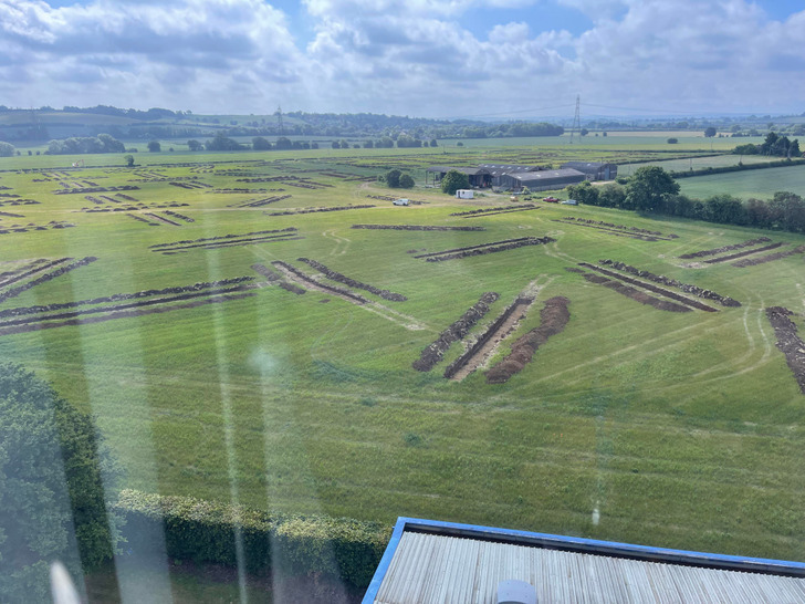 Cultivation ridges in Letter (iraghticonnor By.)Cultivation ridges · 860 yd
 Ecclesiastical enclosure in Letter (iveragh By.)Ecclesiastical enclosure · 994 yd
 BenteeMountain / peak · 1164 yd
 CastleCastle, unclassified · 1.5 mi
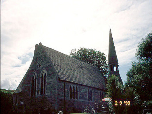 church/chapelchurch/chapel · 1.6 mi
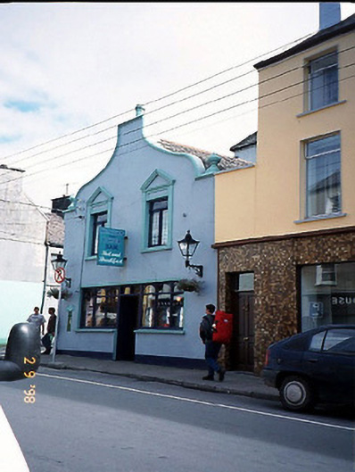 Corner Househouse · 1.6 mi
 Foughil IslandIslet · 2.1 mi
 FoilcloghMountain / peak · 2.4 mi
 Ballycarbery CastleRuins · 2.6 mi
 White Strand BeachBeach / strand · 3.0 mi