What is recorded here
Killineer's Old Grave Yard is a D-shaped enclosure where a vanished church left behind a rectangular depression fourteen metres long. The church was already ruinous in 1622 and was never rebuilt, leaving the graveyard to keep the memory of a community that stopped gathering there. Its curved boundary suggests the ground may have been set apart for worship long before the building disappeared, making the empty centre the clearest part of the story.
D-shaped graveyard to W of Killineer House. In centre is rectangular depression (max. dims. 14m by 4.5m), probably the church site. Church recorded as being ruinous in 1622, not rebuilt. (Davies 1945, 26)
The above description is derived from the published 'Archaeological Survey of County Louth' (Dublin: Stationery Office, 1991). In certain instances the entries have been revised and updated in the light of recent research.
Date of upload: 24 August 2012
The monument record does not grant public access. Check the route and ask the landowner before entering private land.
- What survives
- Recorded monument
Places near here
 Font in KillineerFont · 14 yd
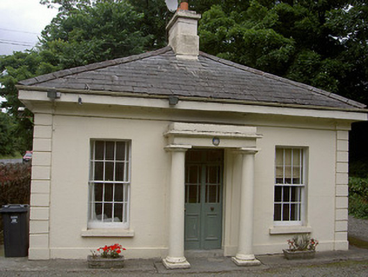 Killineer Housegate lodge · 153 yd
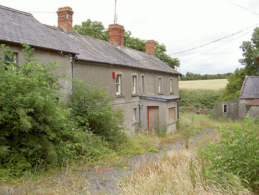 farm housefarm house · 1577 yd
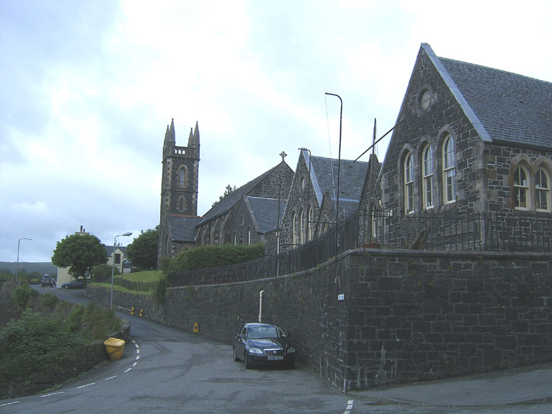 Tobar na SolaisHoly well · 1585 yd
 CastleCastle, tower house · 1.6 mi
 Yellow IslandIslet · 1.8 mi
 Grove IslandIslet · 1.9 mi
 Battle of the Boyne Visitor CentreMuseum · 2.2 mi
 St. Peter's ChurchMemorial · 2.2 mi
 Battle of the BoyneMajor battlefield · 2.2 mi
 The ThoselMemorial · 2.3 mi
 European YewEuropean Yew · 2.3 mi