What is recorded here
Killimor holds a ruined stone ringfort where a track still cuts through the interior and a field fence bisects the north side. The eastern wall has largely vanished, but the western and northern boulders remain high enough to show the shape of a small, defensible house. It sits in karst scrub near other cashels, suggesting people valued this exact spot for visibility, boundary or residence. The fairy name may be local tradition rather than fact, yet it fits the place: a broken stone room where human life disappeared and the landscape took it back.
In karst surrounded by scrub, 400m NE of cashels (MA120-019----) and (MA120-020----). Roughly square-shaped area (31m N-S; 32m E-W), enclosed by ruined wall of large boulders, best preserved SW to NE (H 0.6m; Wth 2m). Largely destroyed on E side. Track runs through interior from SW to E. Field fence bisects interior on N.
The above description has been derived from D. Lavelle (compiler), An Archaeological Survey of Ballinrobe and District including Lough Mask and Lough Carra. Lough Mask and Lough Carra Tourist Development Association (1994), No. 289.
Date of upload: 12 December 2014
The monument record does not grant public access. Check the route and ask the landowner before entering private land.
- What survives
- Recorded monument
Places near here
 Killimor Church (in Ruins)Church · 148 yd
 IndicatedFairy fort / stone ringfort · 546 yd
 CaherFairy fort / stone ringfort · 670 yd
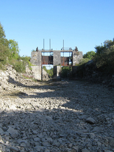 sluice/sluice gatesluice/sluice gate · 874 yd
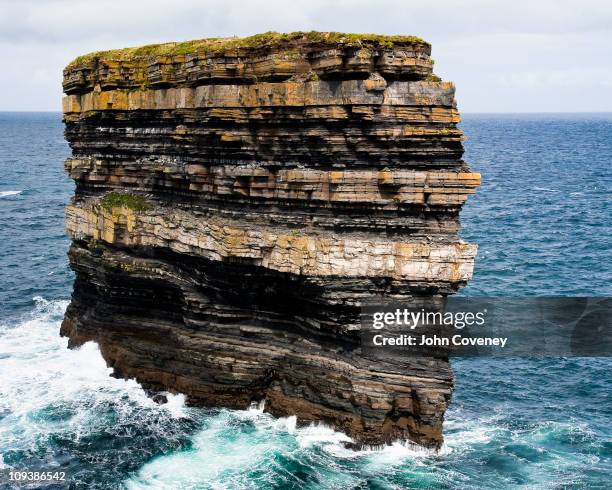 Long RockIslet · 1226 yd
 Black IslandIslet · 1249 yd
 Castle (in Ruins)Castle, tower house · 1740 yd
 Loughmask Castle in ruinsCastle, tower house · 1.2 mi
 Kelly's CaveCave · 2.0 mi
 Quiet Man MuseumMuseum · 2.1 mi
 European YewEuropean Yew · 2.2 mi
 Cong AbbeyHeritage attraction · 2.2 mi