
What is recorded here
Enclosure in Killerry is an enclosure in Killerry, County Sligo, Ireland. It lies in undulating pasture with no archaeological remains visible at ground level. A handwritten fort label appears on the 1838 Ordnance Survey map, though the ground itself no longer shows the structure.
In undulating pasture. According to the SMR (1989) file, the word 'fort' is hand-written on the NMI copy of the 1838 edition of the OS 6-inch map. There are no archaeological remains visible at ground level.
Compiled by: Archaeological Survey Unit, UCC with revisions by Patrick F. O'Donovan and Paul Walsh
Date of upload: 20 June 2011
The monument record does not grant public access. Check the route and ask the landowner before entering private land.
- What survives
- Recorded monument
Places near here
 Grave YardGraveyard · 238 yd
 Church (in Ruins)Church · 247 yd
 Ritual siteRitual site, holy/saint's stone · 249 yd
 MoteCastle, motte · 732 yd
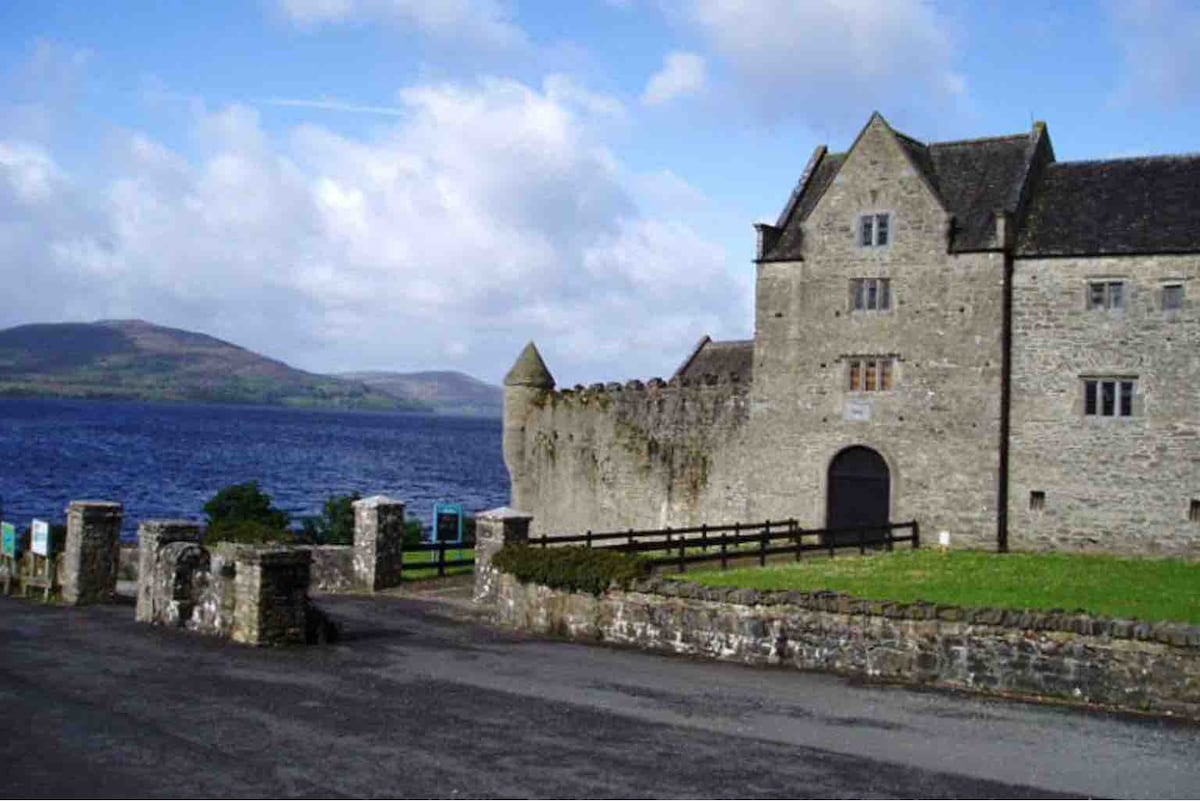 Harrisons CastleHouse, fortified house · 1449 yd
 Cullentra ForestForest · 1.3 mi
 Trawane BayBay · 1.5 mi
 Creevelea AbbeyReligious house, Franciscan friars · 1.5 mi
 InnisfreeIslet · 1.5 mi
 SlishwoodWood · 1.6 mi
 Slishwood Island EastIslet · 2.2 mi
 Bunowen BayBay · 2.4 mi
Other information
Photo: Credit not shown in the picture search · Rights wording not checked; contact us if this picture should be removed