What is recorded here
Cahernanool is a ruined fairy fort in County Galway, Ireland. Its circular stone wall has collapsed into the pasture, hiding the outer edge under thorns and rubble. The inner face still stands low enough to walk beside, but the centre has become an impenetrable tangle where human memory and local wonder both disappear.
In level recently reclaimed pastureland. Poorly preserved circular cashel (diam. c. 30m) defined by a collapsed drystone wall (Wth 3m; int. H 0.85m), which is obscured by field-clearance rubble particularly from N to NE. Field walls overlie the enclosing element from NW through E to SW. On inspection it was possible to walk around the inner wall-face of the cashel but the outer face was completely obscured by thorn and briar growth. The interior was impenetrable due to overgrowth. (Redington 1916a, 45; O'Flanagan 1927, Vol. 1, 461; McCaffrey 1952, 161, no. 87)
Compiled by: Galway Archaeological Survey, UCG
Date of upload: 8 January 2018
The monument record does not grant public access. Check the route and ask the landowner before entering private land.
- What survives
- Recorded monument
Places near here
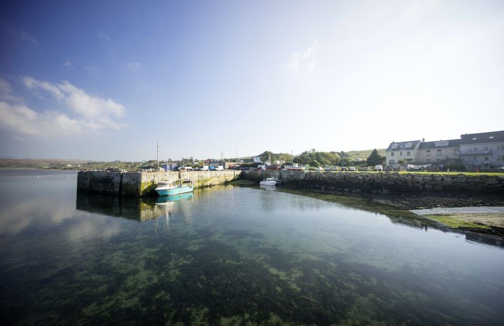 Man-made underground passage in Caherapheepa,fahymactibbotMan-made underground passage · 1184 yd
 CaheradineFairy fort / stone ringfort · 1584 yd
 R.C. Chapel (in Ruins)Chapel · 1.2 mi
 Site of Shanbally CastleCastle, unclassified · 1.4 mi
 Toberbrackan CastleCastle, unclassified · 1.4 mi
 St. Colmans Catholic ChurchChurch · 1.5 mi
 Kilcornan WoodWood · 1.9 mi
 Kilcornan ForestWood · 2.3 mi
 Drumacoo Monastic SiteHeritage attraction · 4.6 mi
 Athenry AbbeyHeritage attraction · 5.4 mi
 Leadmine HillMountain / peak · 7.5 mi
 Goose IslandIslet · 8.0 mi