What is recorded here
On a SE-facing slope in reclaimed grassland overlooking bogland to E and S. Poorly preserved subcircular platform (E-W 30m) defined by a degraded scarp. It has been quarried out at NE and SE, and does not survive from SE to SW where a field boundary cuts the monument.
The above description is derived from the published 'Archaeological Inventory of County Galway Vol. II - North Galway'. Compiled by Olive Alcock, Kathy de hÓra and Paul Gosling (Dublin: Stationery Office, 1999).
Date of upload: 05 August 2010
The monument record does not grant public access. Check the route and ask the landowner before entering private land.
- What survives
- Recorded monument
Places near here
 Clonbern Parkoutbuilding · 987 yd
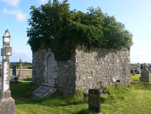 mausoleummausoleum · 1301 yd
 Holy WellHoly well · 1434 yd
 Enclosure in TimadooaunEnclosure · 1.2 mi
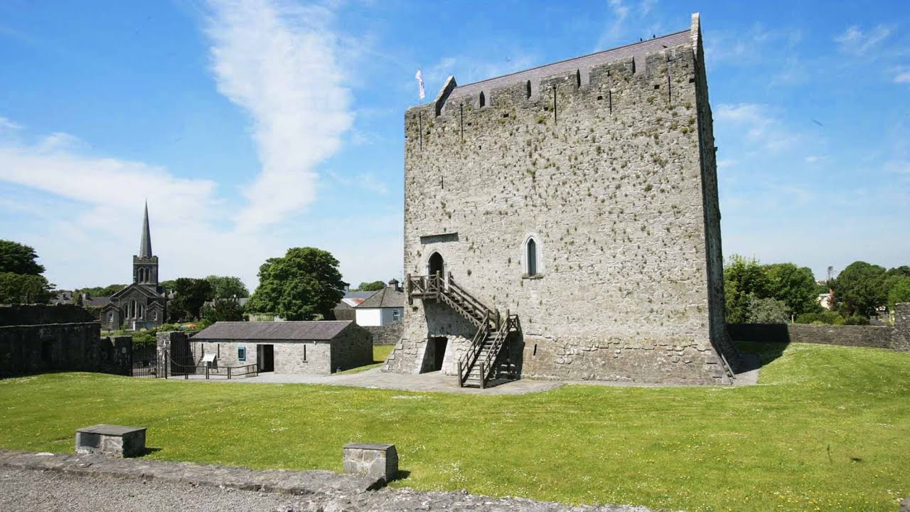 Lerhin CastleCastle · 1.6 mi
 Claddagh Castle (in ruins)Castle, tower house · 2.1 mi
 Knockmoy AbbeyHeritage attraction · 9.1 mi
 European ashEuropean ash · 9.4 mi
 Cloonavihony WoodForest · 10 mi
 Menlough IRAMemorial · 11 mi
 Site of Killomaine Grave YardArchaeological place · 11 mi
 Mass RockNamed rock · 11 mi