What is recorded here
Fairy fort / earthen ringfort in Killavally is a fairy fort or earthen ringfort in Killavally, County Westmeath, Ireland. The 1837 edition of the Ordnance Survey 6-inch map depicted it as a roughly circular earthwork with overall dimensions of approximately 23 metres on a north-east to south-west axis and 21 metres on a north-west to south-east axis. It was situated in undulating pasture, though the 1910 edition of the Ordnance Survey 25-inch map did not depict the site. The levelled monument was recorded as not visible on Digital Globe aerial photography.
Situated in undulating pasture. Depicted on the 1837 ed. OS 6-inch map as a roughly circular-shaped earthwork (approx. overall dims. 23m NE-SW; 21m NW-SE). Not depicted on the 1910 ed. OS 25-inch map. Levelled monument is not visible today on Digital Globe aerial photography.
Compiled by Alison McQueen, Vera Rahilly and Caimin O’Brien.
Date of upload: 18 December 2019
The monument record does not grant public access. Check the route and ask the landowner before entering private land.
- What survives
- Recorded monument
Places near here
 StructureStructure, peatland · 1066 yd
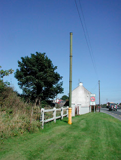 vent pipevent pipe · 1101 yd
 OutlinedHoly well · 1120 yd
 milestone/milepostmilestone/milepost · 1178 yd
 Tyrrellspass CastleCastle, tower house · 1356 yd
 Lows Castle (in Ruins)Castle, unclassified · 1.8 mi
 Ardan WoodWood · 2.5 mi
 Lackan HillMountain / peak · 3.0 mi
 Bonfire HillMountain / peak · 3.4 mi
 Bracklin WoodWood · 4.7 mi
 Croghan HillMountain / peak · 4.8 mi
 Finnrenashark Holy WellSpring · 4.8 mi