
What is recorded here
Indicated is a broken earthen ring on a Clare ridge, facing Liscannor Bay and the Dealagh River. Its bank has lost much of its height, and no entrance remains clear. The land has kept the shape while taking back the meaning, leaving a circle wide enough for memory but no longer for certainty.
In pasture on the crest of an E-W ridge c. 110m N of the SW-flowing Dealagh River, with clear views to N and across Liscannor Bay to S. Hachured on both the first (1840) and Cassini (1916) editions of the OS 6-inch map. Classified as an enclosure in the RMP (1996). A subcircular rath (diams. 34m N-S; 32.7m E-W) is defined by a poorly preserved inner earthen bank (Wth 1.15m; int. H 0.2-0.4m; ext. H 0.65-1.15m), with surviving traces of an outer fosse (Wth 3m; D 0.1m) visible from NW-N-NE. The bank has several gaps, none obviously an original entrance, and has been reduced to a scarp (ext. H 0.7m) at SE and SW. The level interior is featureless.
Compiled by: Gearóid Conroy and Eve Campbell
Date of upload: 7-10-2025
The monument record does not grant public access. Check the route and ask the landowner before entering private land.
- What survives
- Recorded monument
Places near here
 Enclosure in KillaspuglonaneEnclosure · 332 yd
 Church in KillaspuglonaneChurch · 482 yd
 Dough CastleRuins · 878 yd
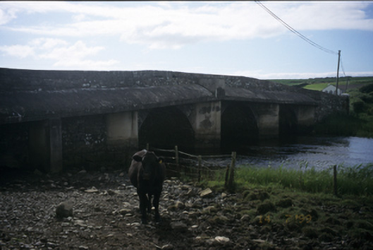 New Bridgebridge · 881 yd
 Enclosure in CaheraderryEnclosure · 1505 yd
 Lahinch BeachBeach / strand · 1.2 mi
 Kilmanahn GraveyardRuins · 1.2 mi
 Famine MemorialMemorial · 1.5 mi
 Site of Tullamore CastleCastle, unclassified · 1.7 mi
 John P. Holland CentreMuseum · 2.4 mi
 TullygarvanWood · 3.0 mi
 Bridget's Well;St Bridget's WellSpring · 3.3 mi
Other information
Photo: Credit not shown in the picture search · Rights wording not checked; contact us if this picture should be removed