What is recorded here
Located on a gentle S-facing slope in the foothills of the Blackstairs Mountains. The old church (WX018-012001-) was pulled down c.1835 according to John O'Donovan writing c. 1840 (O'Flanagan 1933, vol. 2, 102) and no traces of it are now visible within a subrectangular graveyard (dims. c. 50m N-S; c. 40m E-W) defined by an earthen bank. The graveyard is within an ecclesiastical enclosure (WX018-012003-) and St Anne's Well (WX018-011----) lies c. 160m S of the graveyard.
Compiled by: Michael Moore
Date of upload: 22 May, 2012
The monument record does not grant public access. Check the route and ask the landowner before entering private land.
- What survives
- Recorded monument
Places near here
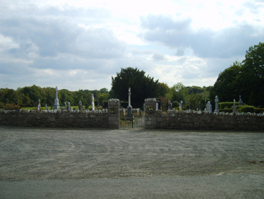 Saint Anne's Burial Groundgraveyard/cemetery · 1 yd
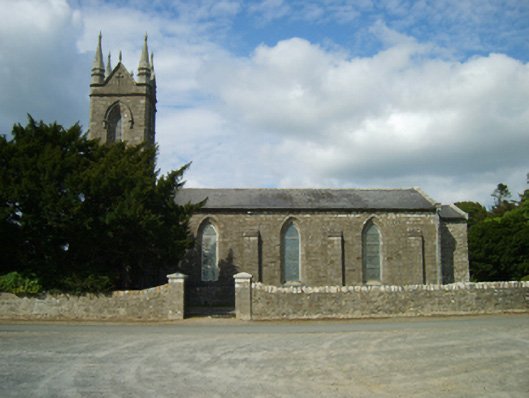 Saint Anne's Church (Killann)church/chapel · 68 yd
 St. Annes WellHoly well · 215 yd
 1798 MemorialMemorial · 325 yd
 Site of FortFairy fort / ringfort · 916 yd
 SlievebaunMountain / peak · 2.2 mi
 Ruin of a small castleRuins · 3.3 mi
 Killoughrum ForestForest · 3.5 mi
 White MountainMountain / peak · 4.1 mi
 Coonogue WoodForest · 5.2 mi
 1798 RebellionMemorial · 6.1 mi
 Site of Warrens CastleCastle, unclassified · 6.7 mi