
What is recorded here
Killane Graveyard circles the parish church on a Cavan knoll, its shallow bank and hedge marking a small disc of red earth where few stones still stand. Water gathers at the valley head beside the graves, then runs northeast toward Milltown Lough, carrying rain from the same soil that holds the dead. The place is not grand, but it is exact: a church, a circle, a valley, and a river waiting below.
Situated on a knoll in an undulating landscape and at the head of a valley that extends off to the NE. The headwaters of a stream that follows the valley to debouch into Milltown Lough are in the immediate vicinity. The parish church of Killane (CV028-027----) is within a circular graveyard (diam. c. 70m NE-SW; c. 65m NW-SE) with few headstones defined by a slight bank and hedge with an external stone facing and by a masonry wall at the roadside S-W.
Compiled by: Michael Moore
Date of upload; 16 March 2020
The monument record does not grant public access. Check the route and ask the landowner before entering private land.
- What survives
- Recorded monument
Places near here
 Church in RuinsChurch · 9 yd
 St. Annes Well (Site of)Holy well · 431 yd
 DerrynureMountain / peak · 854 yd
 NolaghWood · 1207 yd
 Cooney's FortArchaeological place · 1281 yd
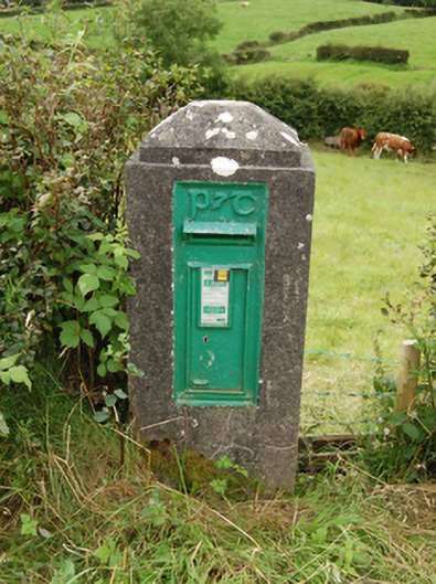 post boxpost box · 1361 yd
 CorravillaMountain / peak · 1374 yd
 Derrynure Bog WoodlandWood · 1530 yd
 Green IslandIsland · 1.7 mi
 Bawn in Skeagh (clankee By.)Bawn · 1.8 mi
 Welcome to Bailieborough DemesneVisitor information · 1.9 mi
 Rebel HillMemorial · 2.4 mi
Other information
Photo: Eric Jones · Creative Commons Attribution-ShareAlike 2.0