What is recorded here
The River Suir flows c. 60m to the SE, in tillage. A curvilinear enclosure (dims. c. 36m NE-SW; c. 33m NW-SE), defined by a fosse which is visible as a cropmark on satellite imagery (Google Earth; imagery date 9 July 2022), identified and reported by Jean-Charles Caillère. Another enclosure (TS083-039----), also visible as a cropmark, lies c. 90m to the NNW.
See attached imagery:
TS083-040----_01 Google Earth satellite imagery; imagery date 9 July 2022
Compiled by: Jean Farrelly
Date of upload: 28 June 2023
The monument record does not grant public access. Check the route and ask the landowner before entering private land.
- What survives
- Recorded monument
Places near here
 Enclosure in Killaloan LowerEnclosure · 121 yd
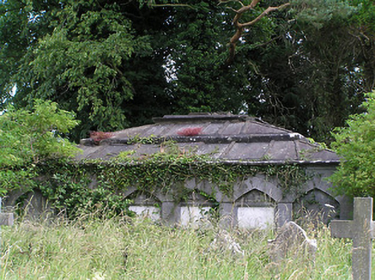 Killaloan Churchmausoleum · 246 yd
 Black PoplarBlack Poplar · 323 yd
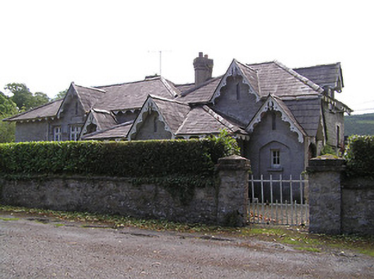 Newtownanner National Schoolschool · 681 yd
 Enclosure in Newtown (killaloan Par.)Enclosure · 881 yd
 Bourke's GroveForest · 935 yd
 Derrinlaur Castle (in ruins)Castle, tower house · 1018 yd
 Gurteen CastleCastle · 1.3 mi
 CarrigeenseebohillaMountain / peak · 2.0 mi
 Long HillMountain / peak · 2.8 mi
 RetrospectMemorial · 3.1 mi
 Charles BianconiMemorial · 3.3 mi