What is recorded here
Killaghteen holds a thirty-metre circular fort now buried inside a private garden. The earth bank and outer ditch still mark the southwest edge, but domestic rubbish and tilled soil have erased the rest. People built a defensible ring on level ground, then lived upon it until only a scarped memory remains beneath the flowers.
In garden of private dwelling, on level ground. Monument, depicted as embanked circular enclosure (diam. c. 30m) on 1924 OS 6-inch map, has been severely altered by incorporation into garden. Defining scarped edge (H 0.75m; Wth 0.9m) with external fosse (D 0.6m; Wth 1.8m) survives SW->E but otherwise levelled; this shows site was clearly circular (diam. 30m E-W) in plan. Field boundary runs along outer line of fosse WSW->NW. Fosse at W used as dump for domestic rubbish. Interior has been tilled and drained as part of garden.
Compiled by: Denis Power
Date of upload: 26 August 2011
The monument record does not grant public access. Check the route and ask the landowner before entering private land.
- What survives
- Recorded monument
Places near here
 Holy well in Ballyshane (glenquin By.)Holy well · 1432 yd
 Enclosure in BallymackesyEnclosure · 1597 yd
 Country house in Castle DemesneCountry house · 1.1 mi
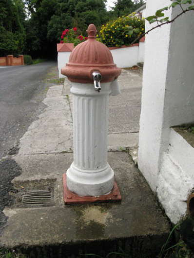 water pumpwater pump · 1.1 mi
 Templars Castle (in ruins)Castle, Anglo-Norman masonry castle · 1.2 mi
 Limerick GreenwayWalking route · 2.6 mi
 Sugar HillMountain / peak · 3.5 mi
 Castle MahonCastle · 3.6 mi
 Saint Ite's WellSpring · 4.1 mi
 TobereenalaffinaSpring · 4.5 mi
 Ballagh MountainMountain / peak · 5.2 mi
 Lawson's CypressLawson's Cypress · 8.2 mi