What is recorded here
The site (L 1.65m; Wth 1.85m; D 0.08m) consists of a dense arrangement of light brushwood on the field surface The longest and most intact pieces of brushwood are orientated NW-SE. The width of the site is extended, however, by more fragmentary pieces which lie irregularly to either side of this concentration, most notably to the E. Numerous pieces show evidence for woodworking. Wood species include hazel. The site is situated in poorly humified Sphagnum and Eriophorum peat. An outlying piece of brushwood 0.6m to the N and a roundwood 1.5m to the W may be related to this site.
Compiled by: Irish Archaeological Wetland Unit (University College Dublin).
Date of upload: 23 May 2011
The monument record does not grant public access. Check the route and ask the landowner before entering private land.
- What survives
- Recorded monument
Places near here
 StructureStructure, peatland · 418 yd
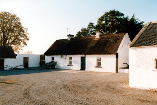 farm housefarm house · 811 yd
 RoadRoad, class 3 togher · 1003 yd
 Enclosure in CastlearmstrongEnclosure · 1304 yd
 Castle ArmstrongHouse, fortified house · 1371 yd
 Lemanaghan CastleCastle, tower house · 1.6 mi
 European ashEuropean ash · 1.6 mi
 Inchaloon IslandIslet · 3.3 mi
 Cocta HillMountain / peak · 3.7 mi
 Saint Reaghan's WellSpring · 4.1 mi
 Ballylin Bog BoardwalkHeritage attraction · 4.3 mi
 Endrim HillMountain / peak · 4.3 mi