What is recorded here
Killaclogher Castle still stands beside a forgotten grid of small square fields, their earthen banks buried under grass but still shaping the land. The castle and fields belong to the same place, even if no record names the hands that built them. A household may have lived there, growing food and keeping animals inside the flat-topped ridges while the tower watched. Modern boundaries have moved across the old lines, yet the shape remains visible when rain marks the soil or light rakes low across the field at evening.
Surrounding Killaclogher Castle (GA071-042----). An extensive series of small rectangular/square fields defined by flat-topped grassed-over earthen banks cover an area c. 450m N-S by c. 450m E-W. Modern field boundaries follow a similar alignment but do not overlie the earlier field banks. A large enclosure (GA071-002----), c. 150m to NW, may be associated.
The above description is derived from the published 'Archaeological Inventory of County Galway Vol. II - North Galway'. Compiled by Olive Alcock, Kathy de hÓra and Paul Gosling (Dublin: Stationery Office, 1999).
Date of upload: 05 August 2010
The monument record does not grant public access. Check the route and ask the landowner before entering private land.
- What survives
- Recorded monument
Places near here
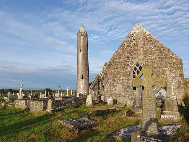 Killaclogher CastleCastle · 55 yd
 Enclosure in Ballynaboorkagh,killaclogherEnclosure · 354 yd
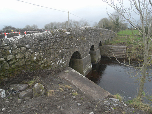 Killaclogher Bridgebridge · 1239 yd
 mill (wind)mill (wind) · 1282 yd
 Monivea CastleCastle · 1682 yd
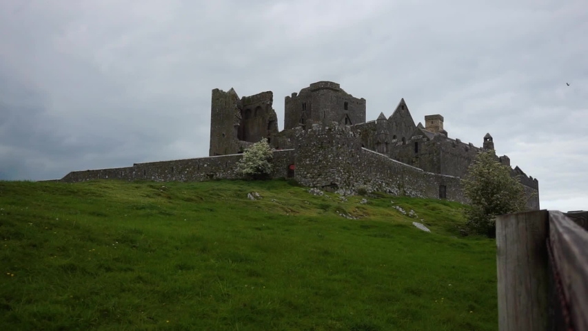 Settlement desertedSettlement deserted, medieval · 1.7 mi
 SycamoreSycamore · 4.1 mi
 Common WhitebeamCommon Whitebeam · 4.2 mi
 Knockmoy AbbeyHeritage attraction · 4.3 mi
 Menlough IRAMemorial · 4.9 mi
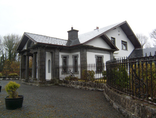 Ryehillgate lodge · 1678 yd
 Monivea Churchchurch/chapel · 1.4 mi