What is recorded here
In gently undulating, low-lying pasture. A spread of burnt material (9m N-S; 10m E-W) immediately W of a drainage trench which is cut along the W side of a N-S field boundary. The E side of the trench shows burnt material to a depth of 0.3m below present ground level.
Compiled by: Denis Power
Date of upload: 26 August 2011
The monument record does not grant public access. Check the route and ask the landowner before entering private land.
- What survives
- Recorded monument
Places near here
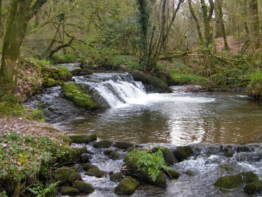 Fulacht fia in KilfinnyFulacht fia · 108 yd
 Kilfinny CastleCastle · 363 yd
 Kinnoor WellSpring · 526 yd
 KilnKiln, lime · 585 yd
 Ballynakill Housecountry house · 646 yd
 St. Kierans WellHoly well · 676 yd
 CastleCastle, unclassified · 1633 yd
 Dysert AenghusaHeritage attraction · 2.0 mi
 Flat cemetery in Kiltenan SouthFlat cemetery · 2.1 mi
 KnockfeerinaMountain / peak · 2.6 mi
 Famine stoneMemorial · 2.8 mi
 Biodiversity in the Maigue CatchmentVisitor information · 3.0 mi