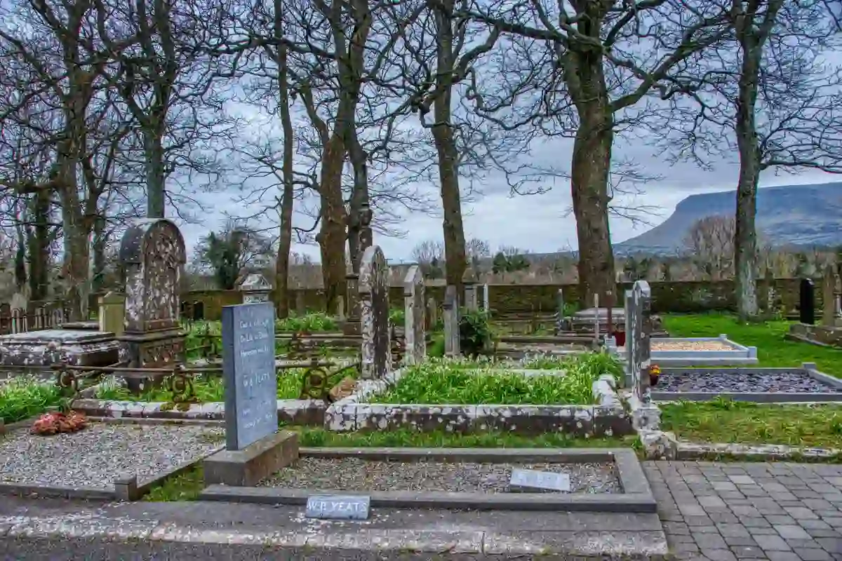
What is recorded here
Kilfinnane’s lost graveyard still lies beneath southern pasture, caught between memory and forgetting. It appeared on the 1840 map beside Barrack Street, vanished from the 1897 chart, and now resists even satellite vision. Spahill’s lodge watches from 280m east, a silent keeper for graves that may never have been named.
In pasture on the S outskirts of Kilfinnane village, within the former demesne of Spahill, the lodge of which lies 280m to E. Annotated ‘graveyard’ on the 1840 ed. OSi 6-inch map where it is depicted as an irregular shaped area immediately E of Barrack Street. It is not shown on the 1897 ed. OSi 25-inch map. Annotated ‘Burial Ground (disused)’ on the Cassini ED. OSi 6-inch map. No surface remains visible on Google Earth orthoimages.
See attached Google Earth orthoimages.
Compiled by: Martin Fitzpatrick
Date of upload: 18 November 2021
The monument record does not grant public access. Check the route and ask the landowner before entering private land.
- What survives
- Recorded monument
Places near here
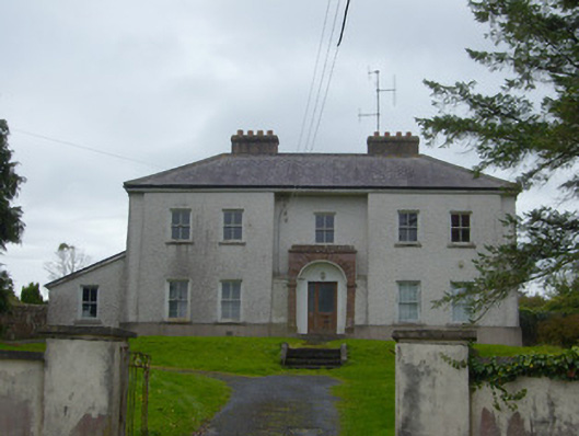 Kilfinnane Garda Síochána Stationhouse · 274 yd
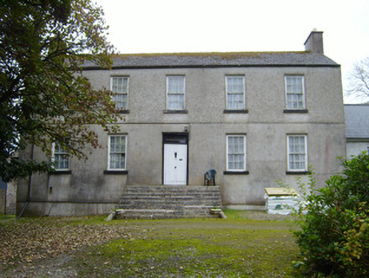 Spahillhouse · 303 yd
 Treada Na Ríogh (The Moat), hachuredCastle, motte · 412 yd
 Grave Yd.Graveyard · 593 yd
 Castle (in ruins)Castle, tower house · 628 yd
 Ballyhoura tourist informationVisitor information · 668 yd
 Furnace in KilfinnaneFurnace · 807 yd
 Palatine's RockNamed rock · 1413 yd
 Ballyhoura WayWalking route · 1.0 mi
 Keale MountainMountain / peak · 1.9 mi
 Gooseberry HillMountain / peak · 1.9 mi
 Ballinvreena LoopVisitor information · 2.6 mi
Other information
Photo: Credit not shown in the picture search · Rights wording not checked; contact us if this picture should be removed