What is recorded here
In pasture, on an elevated area of field, in the grounds of Kilfeakle House. An oval area (dims. 53m NE-SW; 43m NW-SE) defined by a substantial curvilinear estate wall (H c. 2.8m; Wth c. 0.7m) from SSW-NE and by a scarp (Wth 4.5m; H 1.25m) from NE-SSW. The wall is constructed of rubble limestone and mortar and has projecting columns of red brick (Wth 0.35m; Wth of projection 0.1m) at regular intervals (3.65m) W-NE. The scarp is grass covered and stepped. The step may have functioned as an estate trackway which continues in a linear alignment along the sections of the wall which extend from NE and S. The stepped nature of the scarp may be part of an enclosure that has been landscaped and incorporated into an estate feature. The interior slopes from the wall to the centre where it levels off. It is slightly uneven in places and the hollow in the W quadrant appears to have been a tree socket. According to local information, the estate wall is known as 'Marshall's Wall', named after the landowners. Two enclosures (TS059-121001 and TS059-121002-) are 180m and 130m to the NW respectively.
Compiled by: Jean Farrelly
Date of upload: 26 August 2011
The monument record does not grant public access. Check the route and ask the landowner before entering private land.
- What survives
- Recorded monument
Places near here
 Kilfeakle Castle (in ruins)Castle, tower house · 691 yd
 Enclosure in Kilfeakle ChurchquarterEnclosure · 758 yd
 Site of Kilfeakle ChurchChurch · 804 yd
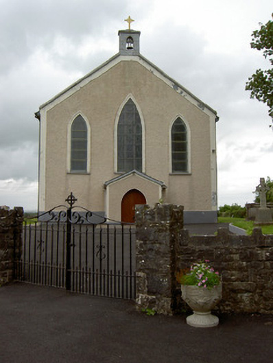 Saint Patrick's Catholic Churchchurch/chapel · 922 yd
 MoatCastle, motte and bailey · 977 yd
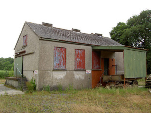 Grantstown Creamerycreamery · 1188 yd
 European ashEuropean ash · 1.4 mi
 I.R.A. 3rd. Tipperary Brigade MemorialMemorial · 3.3 mi
 Bansha ForestForest · 3.9 mi
 It's a long way to TippereryHeritage attraction · 4.0 mi
 Soloheadbeg Ambush SiteMemorial · 4.1 mi
 Soloheadbeg Ambushambush · 4.2 mi